What is recorded here
Located on the Ross peninsula on the W side of Killala Bay. According to the 1838 OS Letters: ‘There was also a well at Ross, called Tober Béice, which was formerly used as a holy well and is now almost covered with sand.’ (O’Flanagan 1927, 258-9 (135-6)). The well is not marked on any edition of the OS 6-inch maps. The exact location of the well is unknown.
Compiled by: Jane O'Shaughnessy
Date of upload: 14 November 2017
Linked to Saint Béice, the well, known as Tober Béice, was historically venerated for its healing properties, particularly for eye ailments. The site reflects a tradition of early Christian holy wells associated with local saints and their curative powers.
The monument record does not grant public access. Check the route and ask the landowner before entering private land.
- What survives
- Recorded monument
Places near here
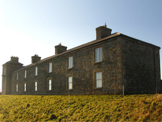 Ross Coastguard Stationcoastguard station · 491 yd
 Site of ChurchChurch · 994 yd
 Rinnaun PointHeadland · 1741 yd
 RathmoreFairy fort / earthen ringfort · 1.1 mi
 CastlenageehaCastle, unclassified · 1.4 mi
 farm housefarm house · 1.5 mi
 Green IslandIslet · 1.6 mi
 TrabaunBeach / strand · 1.6 mi
 Battle of Killalabattle · 2.0 mi
 CastleCastle, unclassified · 2.0 mi
 Bartragh IslandIsland · 2.2 mi
 Battlefields of MoyneBattlefield · 2.3 mi