What is recorded here
Killyverry’s lost well belonged to Mary. It stood beside a vanished triangular graveyard in a field owned by Miss Houston, and people still went there to cure sprains. The church and graves disappeared, but the water remained useful. Forgetting the stones is easier than stopping the healing.
Unlocated holy well dedicated to St. Mary in the townland of Killyverry. Described in the 1937/8 Schools Folklore Collection as, in 'The field in which the well is belongs to Miss Houston, Killyverry, Newtowncunningham…water cure for some ailement…especially for sprains'. 'There was an old graveyard in the same place as St. Mary's church and well, but there are no ruins of it now'. ' The graveyard lay in the direction of the north west. It was triangular in shape and it was level'. The place where it was is one mile outside Newtowncunningham and about three hundred yards from my house [Kathleen Joye, Killyverry] (Reel 252 v1107 Newtowncunningham)'. This well was listed by Ó Muirgheasa in 1936 (Ó Muirgheasa 1936, 156, no. 83).
Compiled by Caimin O'Brien
Date of upload/revision: 05 January 2012.
Dedicated to St. Mary, the holy well in Killyverry was associated with healing traditions and likely used for ritual washing or drinking as part of Marian devotions. Such wells were often visited on feast days of the Virgin Mary, with offerings or prayers for health and protection.
The monument record does not grant public access. Check the route and ask the landowner before entering private land.
- What survives
- Recorded monument
Places near here
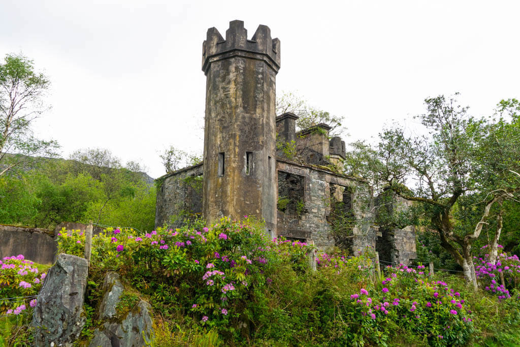 Killyverry Fairy FortFairy fort / ringfort · 633 yd
 Enclosure in Moneymore (newtowncunningham Ed)Enclosure · 783 yd
 bridgebridge · 864 yd
 farm housefarm house · 895 yd
 Burt CastleCastle, tower house · 2.8 mi
 Fort Stewart in RuinsBawn · 3.0 mi
 RowanRowan · 4.0 mi
 European YewEuropean Yew · 4.0 mi
 Tullyaughnish Old Church GraveyardGraveyard · 5.1 mi
 Greenan MountainMountain / peak · 5.3 mi
 Grianán of AileachFairy fort / stone ringfort · 5.3 mi
 Mullanadee ShoreBeach / strand · 5.4 mi