
What is recorded here
From the National Monuments Service (Archaeological Survey of Ireland) record DG028-025
Places near here
Photo credits
- Maker not stated on source page, www.dreamstime.com
- Maker not stated on source page, uk.pinterest.com
- Maker not stated on source page, www.visitscotland.com
- National Inventory of Architectural Heritage
- Maker not stated on source page, www.interment.net
- Willie Duffin, Wikimedia Commons · CC BY-SA 2.0
- Kenneth Allen, Geograph · CC BY-SA 2.0
- Maker not stated on source page, www.islands.com
- Ronnie Nijboer, Wikimedia Commons · CC0
 Glebe Old GraveyardGraveyard · 106 yd
Explorer Tom Glebe Old Graveyard held a church described as long deserted by 1706, yet the surrounding ground is still in use today.…
 Killygarvan Island Burial GroundBurial ground · 203 yd
Explorer Tom Killygarvan Island Burial Ground yielded two stone-lined graves after erosion exposed them in 1988. One held an adult…
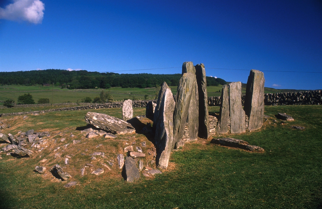 Kinnegar Shore Burial Cairn / CistCairn, burial cairn · 360 yd
Explorer Tom Kinnegar Shore Burial Cairn / Cist was likely home to a Viking cemetery, suggested by a ringed-pin found on the beach.…
 Fort RoyalOfficially recorded historic building · 1441 yd
Explorer Tom Fort Royal’s pump house has a round-headed opening that looks like a stone eye staring at the road. Built around 1880…
 Rathmullan HouseGates/railings/walls · 1580 yd
Explorer Tom Rathmullan House gates are being picked on by the wind because they’re too pretty for their own good and don’t know how…
 St. Joseph's CemeteryGraveyard · 1.3 mi
Explorer Tom St. Joseph's Cemetery is home to a made-up legend about a giant who buried his boots here after losing them in a bet.…
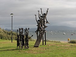 Flight of the EarlsSculpture · 1.4 mi
Explorer Tom Flight of the Earls in County Donegal is looking down at us all with that aristocratic disdain, probably reviewing my…
 Belle's KitchenCafé · 1.5 mi
Explorer Tom Belle’s Kitchen on Pier Road feels like a grandmother who knows your secrets and serves pie with authority. It’s pure…
 The White HartePub · 1.5 mi
Explorer Tom The White Harte in Rathmullan is right by Kerrs Bay, likely watching boats go by. It's a pub with a name that sounds…
 Mc Swynes CastleCastle, unclassified · 1.5 mi
Explorer Tom Mc Swynes Castle fell in 1516, according to the Annals of the Four Masters, likely collapsing straight into the Lough…
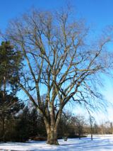 Wych Elm1.7 mi
Explorer Tom Wych Elm in County Donegal has a long-standing grudge against the weather because it keeps blowing its leaves off…
 Rathmullan Wood Nature ReserveNature reserve · 2.3 mi
Explorer Tom Rathmullan Wood Nature Reserve starts with a surprise: great beech trees crowd the entrance, while the older oak…
More archaeology and monuments in County Donegal · All of County Donegal

What do you know about this place?Tap to add a comment or ask a question