What is recorded here
On N side of Cnoc Buí. Known locally as Tobar Muire, it consists of a small cavity, in which rain-water lodges, on a slanting outcrop of smooth rock. The opening is usually covered by a small flat stone and the well is delimited by a low horseshoe-shaped drystone wall (1.6m by c. 1.5m) opening to S. A small flagstone projecting from the wall above the well carries a few modern offerings. (Robinson 1985, 19-20)
The above description is derived from the published 'Archaeological Inventory of County Galway Vol. I - West Galway'.
From the National Monuments Service (Archaeological Survey of Ireland) record GA064-002
The monument record does not grant public access. Check the route and ask the landowner before entering private land.
- What survives
- Recorded monument
Places near here
Cnoc GlinsceMountain / peak · 727 ydHoly well in Leitreach ArdHoly well · 1.3 miHoly well in Leitreach ArdHoly well · 1.8 miCruachnaitIslet · 2.3 miTrá MhaíroisBeach / strand · 2.5 mi Teampall Mhuire [Saint Mary's Catholic Church]Church/chapel · 2.5 miClochar na Trócaire Carna [Carna Convent of Mercy]Convent/nunnery · 2.7 miInis NíIsland · 3.6 miChinese photinia4.2 miMyrtle beech4.2 miAlexander NimmoMemorial · 4.3 miCora na hAirde MóireHeadland · 5.4 mi
 Teampall Mhuire [Saint Mary's Catholic Church]Church/chapel · 2.5 mi
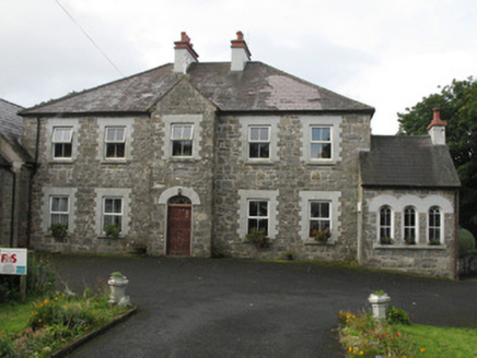 Clochar na Trócaire Carna [Carna Convent of Mercy]Convent/nunnery · 2.7 mi
 Inis NíIsland · 3.6 mi
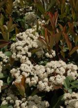 Chinese photinia4.2 mi
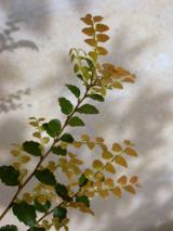 Myrtle beech4.2 mi
 Alexander NimmoMemorial · 4.3 mi
 Cora na hAirde MóireHeadland · 5.4 mi
Pictures: Superbass, Wikimedia Commons · CC BY-SA 4.0; National Inventory of Architectural Heritage; Hugh Chevallier, Wikimedia Commons · CC BY-SA 2.0; Luis Fernández García, Wikimedia Commons · CC BY-SA 2.5 es; No machine-readable author provided. Abrahami assumed (based on copyright claims)., Wikimedia Commons · CC BY-SA 2.5; Mac McCarron, Geograph · CC BY-SA 2.0; Mac McCarron, Wikimedia Commons · CC BY-SA 2.0
More archaeology and monuments in County Galway · All of County Galway
What do you know about this place?