What is recorded here
On hillside on N side of Glencraff. It consists of a natural spring in an irregular rock cleft under the lower edge of a slanting flagstone. Though there are no signs of offerings, the well is associated locally with a St Craff. There is a hawthorn 10m to NW and a remarkable water-worn flagstone 11m to S (info. T. Robinson). Not visited. I - West Galway'.
From the National Monuments Service (Archaeological Survey of Ireland) record GA011-003
The monument record does not grant public access. Check the route and ask the landowner before entering private land.
- What survives
- Recorded monument
Places near here
 BúcánMountain / peak · 1104 yd
 Meall CheoMountain / peak · 1.0 mi
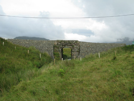 bridge1.2 mi
 Tullyconor BridgeBridge · 1.3 mi
 Hawthorn1.3 miEnclosure in Bun An MheascáinEnclosure · 1.7 miWaterfallHeritage attraction · 2.5 miThe Sheep And Wool Heritage CentreHeritage attraction · 2.5 miTobermurryHoly well · 2.5 miDear IslandIslet · 4.1 mi
 Aasleagh WaterfallWaterfall · 4.2 mi
 Scots Pine4.6 mi
Pictures: Colin Park, Geograph · CC BY-SA 2.0; National Inventory of Architectural Heritage; Newbert12, Wikimedia Commons · CC BY-SA 4.0; Didier Descouens, Wikimedia Commons · CC BY-SA 4.0; Steve Edge, Wikimedia Commons · CC BY-SA 2.0; Hello, I am Bruce on Flickr, Wikimedia Commons · CC BY-SA 2.0
More archaeology and monuments in County Galway · All of County Galway
What do you know about this place?