
What is recorded here
From the National Monuments Service (Archaeological Survey of Ireland) record CO136-112
Places near here
Photo credits
- Maker not stated on source page, www.tripadvisor.ca
- Maker not stated on source page, monumentalireland.ie
- Maker not stated on source page, ru.pinterest.com
- Maker not stated on source page, www.dreamstime.com
- David Sands, Geograph · CC BY-SA 2.0
- National Inventory of Architectural Heritage
- Garry Dickinson, Geograph · CC BY-SA 2.0
- Maker not stated on source page, www.pinterest.com
- Maker not stated on source page, ca.pinterest.com
- Warren Buckley, Geograph · CC BY-SA 2.0
- Maker not stated on source page, www.the42.ie
- Golfing in Ireland; photographer not stated, Source publisher
 Church & School HoChurch · 1542 yd
Explorer Tom Church & School Ho in Ardgehane was originally a school before it decided to become a church, and now it’s just a shed…
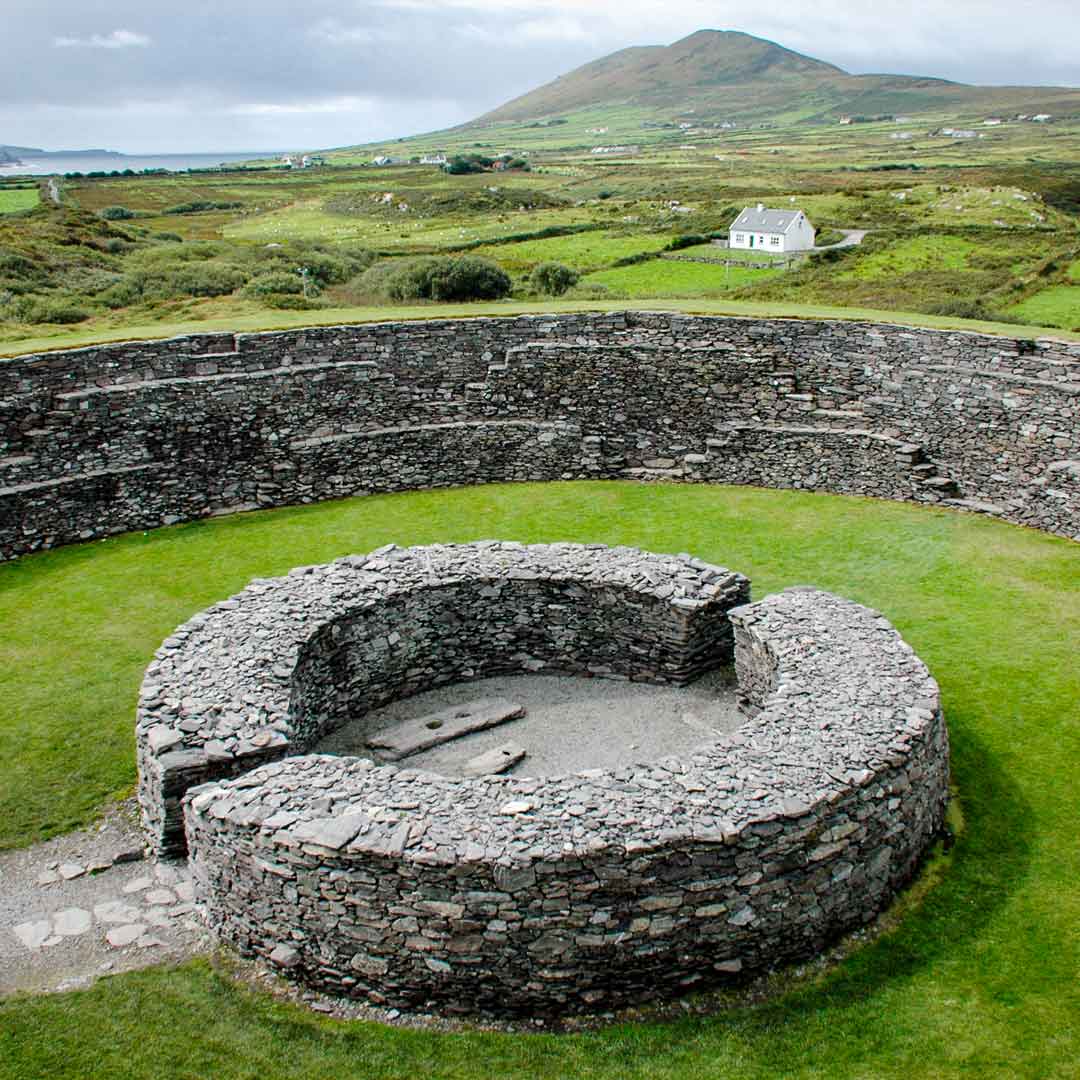 Fairy fort / earthen ringfort in Ardgehane (ibane and Barryroe By.)Fairy fort / earthen ringfort · 1574 yd
Explorer Tom Fairy fort / earthen ringfort in Ardgehane is levelled now, just some undulations left. Locals know it as a fort site.…
 Cave TunnelBeach / strand · 1.2 mi
Explorer Tom Cave Tunnel brags about surviving a storm in 1892 that broke every other cave on the coast, yet it still looks like…
 Fairy fort / earthen ringfort in LissycrimeenFairy fort / earthen ringfort · 1.6 mi
Explorer Tom Fairy fort / earthen ringfort in Lissycrimeen has an underground passage that even the local bishop refused to visit…
 Dunworly BeachBeach / strand · 2.0 mi
Explorer Tom Dunworly Beach makes you earn your sand: a little road across Cork's Seven Heads peninsula, a grassy perch above the…
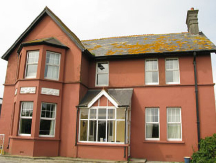 Lislevane HouseHouse · 2.0 mi
Explorer Tom Lislevane House is an Edwardian style home from 1904 with gables that go all over the place, literally. It’s got canted…
 Dunworly CastleCastle · 2.4 mi
Explorer Tom Dunworly Castle in County Cork is cursed to only affect people who don't wave, which explains why so many visitors look…
 Dunworly Castle (in Ruins)Castle, tower house · 2.4 mi
Explorer Tom Dunworly Castle is a small tower on a narrow neck with a roof made of overlapping slabs. It’s got a weird floor…
 Ballintemple GraveyardGraveyard · 2.7 mi
Explorer Tom Ballintemple Graveyard would complain to the council about the lack of benches because people keep sitting on the grass…
 Inchydoney BeachBeach / strand · 3.1 mi
Explorer Tom Inchydoney Beach has strict rules for visitors: no loud noises, no running, and definitely no complaining about the…
 St. James' GAA pitchGAA ground · 4.9 mi
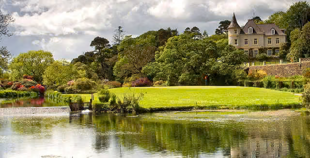 Clonakilty Golf ClubGolf course · 5.1 mi
More archaeology and monuments in County Cork · All of County Cork

What do you know about this place?Tap to add a comment or ask a question