What is recorded here
Holy Well stands in Ballyeaston, County Antrim, a small water feature still named for devotion though no date or event survives to explain it. The name suggests people once believed the water could touch the sacred, perhaps for healing, blessing or remembrance. That much is implied by the word holy, even when the facts stop speaking.
The official Northern Ireland record identifies this as HOLY WELL. Recorded period: UNCERTAIN. The official map point was placed at the centre of the recorded archaeological site from the source map reference.
Linked to an unidentified saint, the holy well at Ballyeaston was traditionally visited for healing purposes, particularly for ailments of the eyes and skin. Little specific folklore survives, but such wells were often associated with early Christian pilgrimage and local devotional practices.
The monument record does not grant public access. Check the route and ask the landowner before entering private land.
- What survives
- Recorded monument
Places near here
 A.P. SITEA.P. SITE, enclosure? · 436 yd
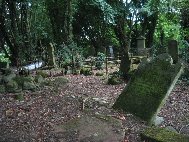 MULTIPERIOD CHURCH & GRAVEYARD with WELL: RATH SITHE, RASHEE, or RASSCI in RasheeMULTIPERIOD CHURCH & GRAVEYARD with WELL: RATH SITHE, RASHEE, or RASSCI · 1.1 mi
 FORTIFIED HOUSE: CASTLE HILL in DunamoyFORTIFIED HOUSE: CASTLE HILL · 1.2 mi
.jpg?width=1280) Ballyclare Town HallTown Hall · 1.3 mi
Ballyclare Town HallTown Hall · 1.3 mi_-_geograph.org.uk_-_5247773.jpg?width=1280) Ulster BankBank · 1.4 mi
Ulster BankBank · 1.4 mi Ballyboley ForestForest · 3.1 mi
 Big CollinMountain / peak · 4.1 mi
 North Carn ForestForest · 5.0 mi
 Sentry Hill Historic HouseMuseum · 5.9 mi
 C17th CASTLE on MONASTIC SITE : ORDER of ST. JOHN OF JERUSALEM, UPTON CASTLE, UPTON MAUSOLEUM, HUGH DE LOGAN'S TOWN in TemplepatrickC17th CASTLE on MONASTIC SITE : ORDER of ST. JOHN OF JERUSALEM, UPTON CASTLE, UPTON MAUSOLEUM, HUGH DE LOGAN'S TOWN · 6.0 mi
 O'Haughan's CaveCave · 6.3 mi
 Carnmoney HillMountain / peak · 6.9 mi