What is recorded here
Twenty years of concrete and forgotten stone have swallowed the well, yet the 1838 map still marks the spot where water once touched the west bank of that Galway stream. The well disappeared the way most sacred things do: not with drama, but because nobody young enough remembered it when the old shape was last described. What remains is a small absence in the grassland, the kind of hole that suggests human beings still believe some water is different even when they can no longer point to the jar that held it.
In grassland adjacent to the townland boundary, on the W bank of a stream. Named ‘Holy Well’ on the 1838 and 1945 revision of the OS 6-inch maps. On inspection no visible surface trace of the well survived, apart from a scatter of loose stones, and locals did not remember a holy well in the area.
Compiled by: Galway Archaeological Survey, UCG
Date of upload: 18 January 2023
The monument record does not grant public access. Check the route and ask the landowner before entering private land.
- What survives
- Recorded monument
Places near here
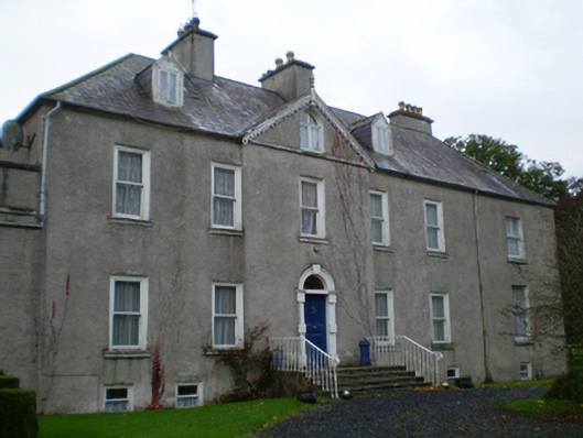 Prospecthouse · 271 yd
 Enclosure in Derry (longford By.)Enclosure · 800 yd
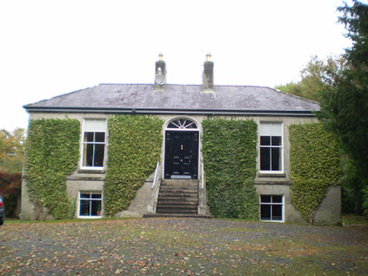 Derryormondehouse · 995 yd
 KnockaunnabastyArchaeological place · 1261 yd
 Lismore CastleCastle, tower house · 2.2 mi
 Redmond HillMountain / peak · 2.3 mi
 CastleCastle, unclassified · 2.5 mi
 Friars IslandIsland · 2.6 mi
 Killeen's IslandIsland · 2.7 mi
 MeelickVisitor information · 2.8 mi
 Silver FirSilver Fir · 3.3 mi
 European ashEuropean ash · 3.8 mi