What is recorded here
Broneys Well in Ballinran, County Down, is a holy water place marked only by a map point and a name, leaving the well itself hidden beneath grass, stone or forgetting. The certainty is thin, but the function is familiar: clean water, human memory and a boundary between the living land and the dead. Perhaps a child, an old woman or a lost traveller first named the well after the person it served. That missing person is not absent; they are waiting inside the name, ready to return whenever someone drinks.
The official Northern Ireland record identifies this as HOLY WELL: BRONEYS WELL. Recorded period: UNCERTAIN. The official map point was placed at the centre of the recorded archaeological site from the source map reference.
Linked to Saint Bronagh, Broney's Well is traditionally associated with cures for skin ailments and general healing. Local folklore suggests that the well was visited on specific holy days, with pilgrims often leaving coins or small offerings as tokens of gratitude.
The monument record does not grant public access. Check the route and ask the landowner before entering private land.
- What survives
- Recorded monument
Places near here
 Little MoatBay · 893 yd
 Enclosure (Possible) in BallinranEnclosure (Possible) · 1066 yd
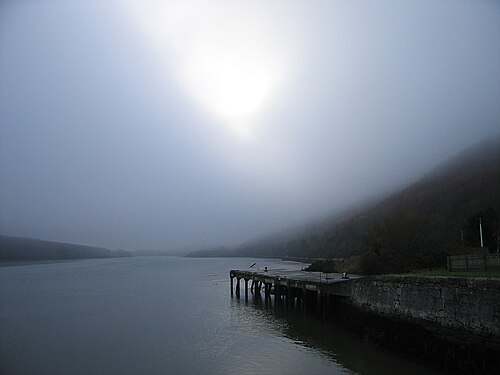 Carlingford LoughSea lough and mountain landscape · 1548 yd
 Church of the Sacred HeartChurch · 1.3 mi
 SlievemartinMountain / peak · 1.3 mi
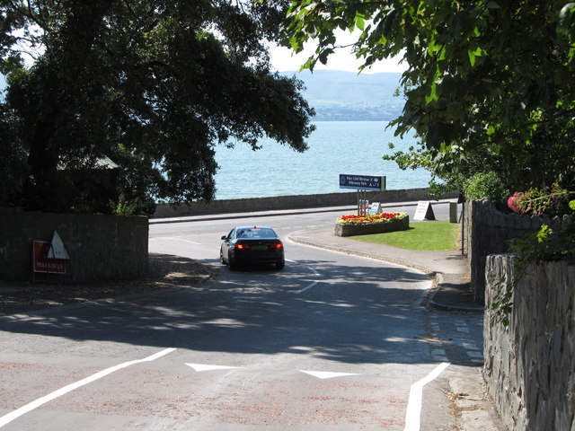 Kilbroney ParkVisitor information · 1.4 mi
 Holy well in Liberties OF CarlingfordHoly well · 1.7 mi
 KnocksheeMountain / peak · 1.8 mi
 The Fairy GlenWalking route · 1.8 mi
 CHURCH in RosstrevorCHURCH · 1.9 mi
 FORTIFICATION: TREVORS CASTLE (unlocated) in RosstrevorFORTIFICATION: TREVORS CASTLE (unlocated) · 2.0 mi
 Carlingford - Slieve Foye LoopWalking route · 2.3 mi