What is recorded here
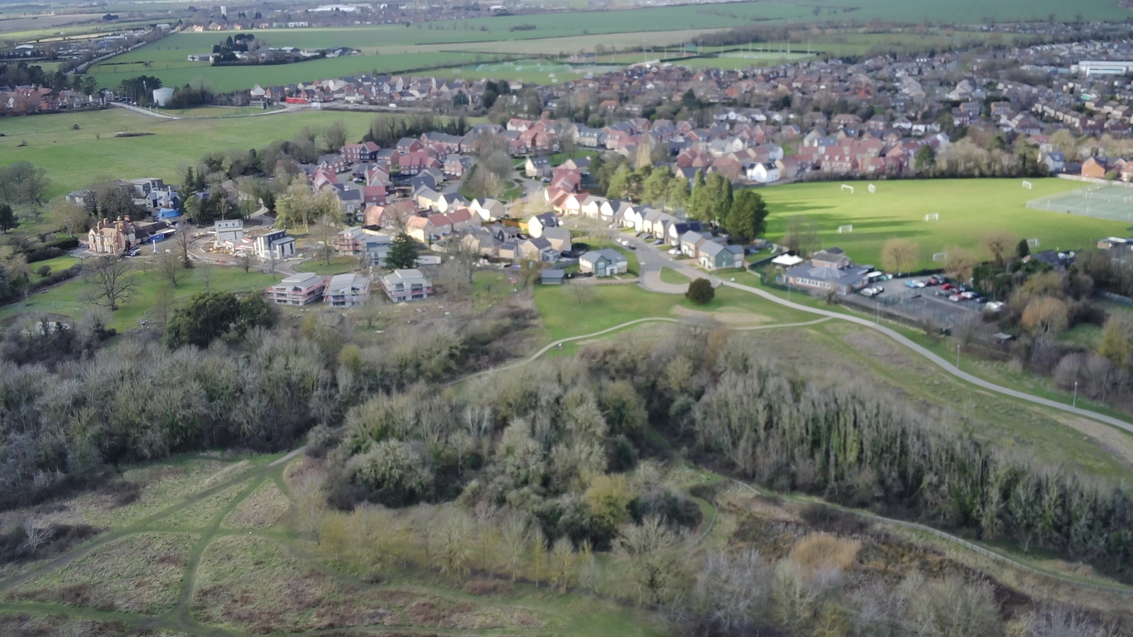
At the S side of an NW-SE public road in a flat-bottomed SW-NE valley which opens out to a bog at N. Called the Cross of Cairbre Crom by J. O'Donovan in the 1830s (O'Flanagan 1931, vol. 1, 24-5), it may have been a wayside cross beside a togher connecting Clonburren (RO056-007001-) with a higher ridge to the W at Faltia. A single limestone piece with an octagonal cross-section (dims 0.3m x 0.3m; L 0.8m) has an unserviceable circular tennon at one end. A further portion (RO056-007005-) is now at Clonburren church (RO056-007001-). (Crawford 1907, 217)
Compiled by: Michael Moore
Date of upload: 24 August 2010
The monument record does not grant public access. Check the route and ask the landowner before entering private land.
- What survives
- Recorded monument
Places near here
 IndicatedHoly well · 243 yd
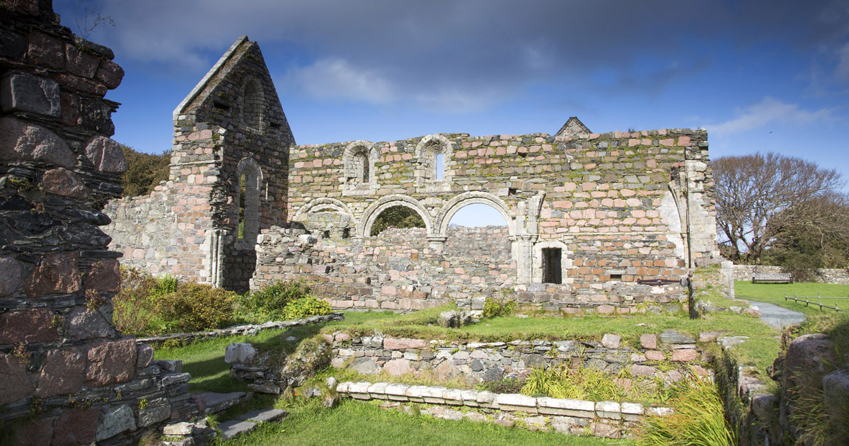 Religious house nunneryReligious house nunnery, unclassified · 458 yd
 Cross in CloonburrenCross · 460 yd
 Cloonburren MoteCastle, motte and bailey · 1182 yd
 CastleCastle, unclassified · 1.3 mi
 Devenish IslandIsland · 1.5 mi
 Split HillMountain / peak · 1.6 mi
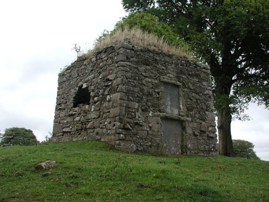 St. George Mausoleummausoleum · 1.9 mi
 Long IslandIsland · 2.1 mi
 Shannonbridge - Nearby AttractionsVisitor information · 2.5 mi
 HawthornHawthorn · 2.7 mi
 Sugarloaf HillMountain / peak · 2.7 mi
Other information
Photo: Credit not shown in the picture search · Rights wording not checked; contact us if this picture should be removed