What is recorded here
A holed stone located 6m NE of the granite cross (DU021-030004-) within the graveyard (DU021-030002-) at Rathcoole. The stone is embedded in a sloping ground surface to the SE of the church (DU021-030001-), There are with extensive views to the S and W but views to the N and E restricted by adjacent houses. It comprises a thin slab just 0.1m in depth, roughly shaped along its long edges but somewhat rounded at the top, measuring 0.73m in height, and 0.62m wide with a central sub-circular perforation (Wth 0.24m x H 0.2m).
To see a 3D model of this stone visit https://skfb.ly/oI6M6
Compiled by: Margaret Keane
Revised by: Caimin O'Brien
Date of revised upload: 9 June 2023
Likely dating to the Neolithic or Bronze Age, the holed stone may have had ritual or ceremonial significance, possibly used as a cairn marker, ritual object, or astronomical feature. Such stones are sometimes associated with burial or passage tomb complexes, though its specific use in this churchyard context remains unclear.
The monument record does not grant public access. Check the route and ask the landowner before entering private land.
- What survives
- Recorded monument
Places near here
 Grave YardGraveyard · 19 yd
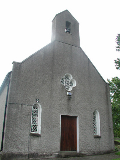 Rathcoole Churchchurch/chapel · 21 yd
 vent pipevent pipe · 53 yd
 Settlement cluster in RathcooleSettlement cluster · 475 yd
 Rathcoole WoodlandWood · 542 yd
 Meadow WildlifeVisitor information · 614 yd
 Inniscara GalleryGallery · 739 yd
 CastleCastle, tower house · 1737 yd
 Verschoyle's HillMountain / peak · 1.8 mi
 Early Stadium DesignHeritage attraction · 2.0 mi
 Colmanstown Castle (in ruins)Castle, tower house · 2.0 mi
 Athgoe HillMountain / peak · 2.0 mi