What is recorded here
On top of a E-W ridge on S-facing slope, at E side of ringfort (CO138-002001-). Fallen, partially embedded slab (L 2.35m; min. 0.8m x 0.12m) with circular hole (diam. 0.14m). According to Weir (1980, 113), stone used for healing purposes. According to local information, the stone was re-erected sometime in the last 20 years (prior 2023.
The above description is derived from the published 'Archaeological Inventory of County Cork. Volume 1: West Cork' (Dublin: Stationery Office, 1992). In certain instances the entries have been revised and updated in the light of recent research.
Date of upload/revision: 22 June 2023
Image uploaded courtesy of Clíodhna O’Leary (archaeologist)
This monument is subject to a preservation order made under the National Monuments Acts 1930 to 2014 (PO no. 83/1939).
The monument record does not grant public access. Check the route and ask the landowner before entering private land.
- What survives
- Recorded monument
Places near here
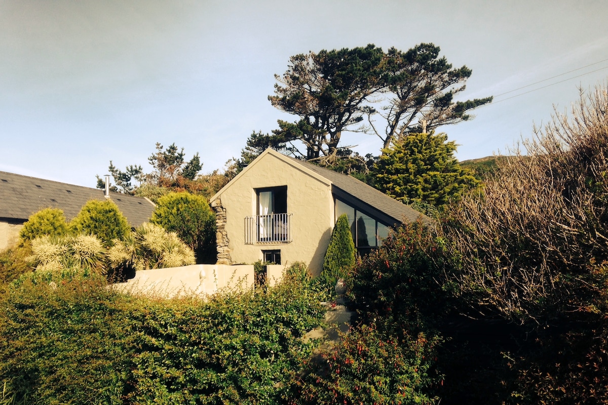 Laharandota WellHoly well · 233 yd
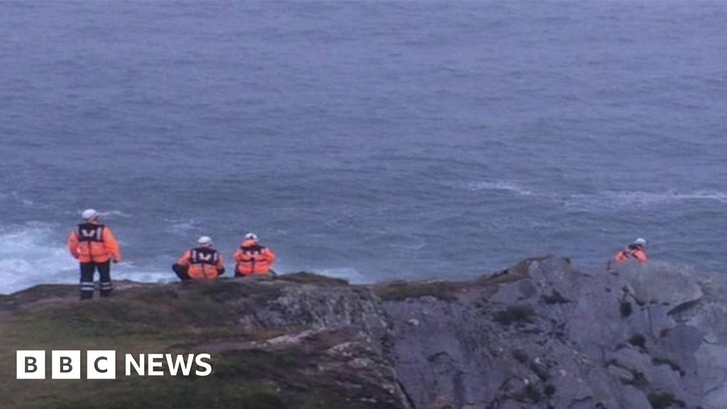 Drowning in Dunmanus BayMemorial · 1055 yd
 Sheep's Head - Cahergal LoopWalking route · 1096 yd
 Tra Ruaim Fishing SpurWalking route · 1115 yd
 IndicatedFairy fort / stone ringfort · 1306 yd
 Caher MountainMountain / peak · 1.8 mi
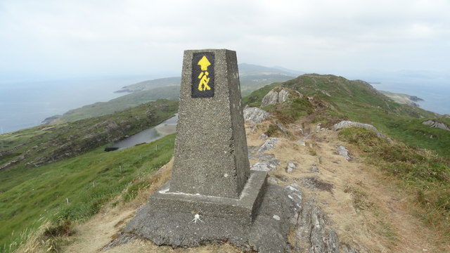 Ballyroon MountainMountain / peak · 2.4 mi
 surgery/clinicsurgery/clinic · 3.1 mi
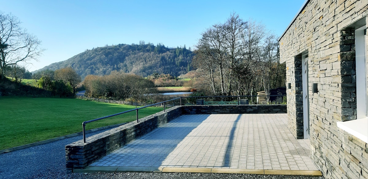 Lough Akeen Lake ViewViewpoint · 3.1 mi
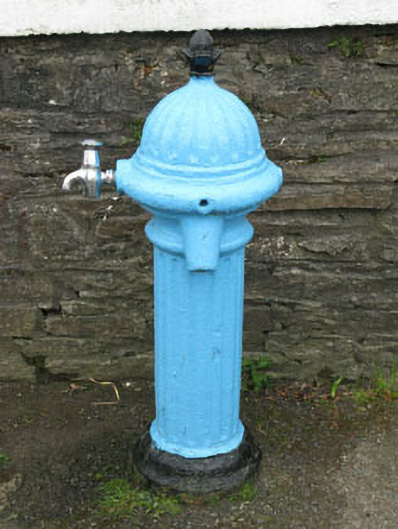 water pumpwater pump · 3.1 mi
 Mass RockMemorial · 3.2 mi
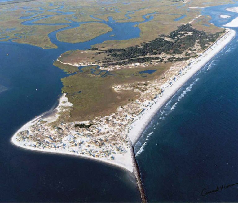 Bird IslandIslet · 3.3 mi