What is recorded here
Durrow became a borough town before the middle of the thirteenth century, yet its exact boundaries have vanished into the demesne and townparks. The Down Survey map from 1655 to 1656 still shows dwellings and a castle, proving the town existed even when its name faded from common use. People may have walked past its forgotten gates for centuries, believing they were simply strolling through open country while history watched from beneath the grass.
Unlocated historic town within Durrow Village, Down Survey (1655-6) map shows dwellings and a castle. According to Feehan a borough town had been established at Derevald (Durrow) before the middle of the thirteenth century (Feehan 1983, 370).
Compiled by: Caimin O'Brien
Date of upload: 17 December 2007
The monument record does not grant public access. Check the route and ask the landowner before entering private land.
- What survives
- Recorded monument
Places near here
 Enclosure in Durrow TownparksEnclosure · 373 yd
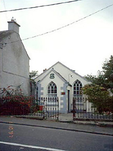 Durrow Methodist Churchchurch/chapel · 691 yd
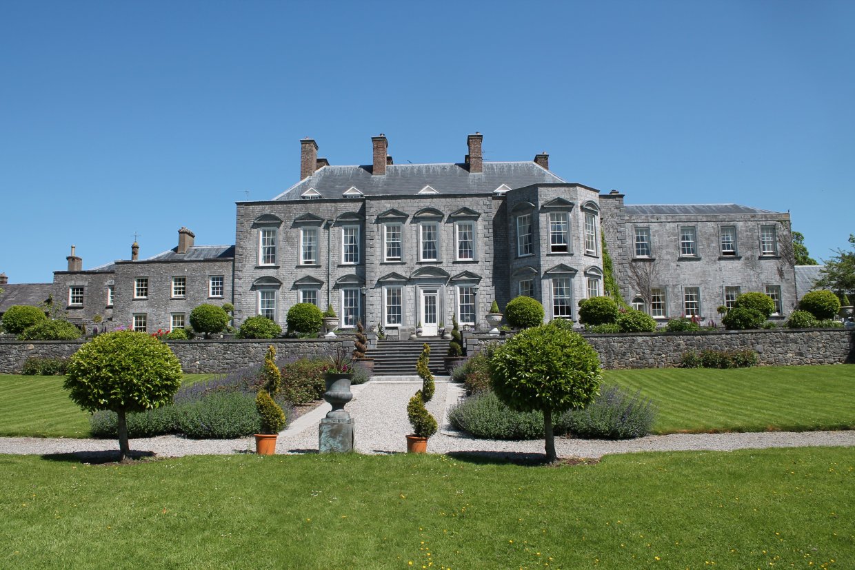
 Castle Durrowcountry house · 710 yd
 Durrow CastleCastle · 713 yd
 Ecclesiastical site in Castledurrow Demesne,durrow TownparksEcclesiastical site · 823 yd
 Bawn in FermoyleBawn · 2.1 mi
 Anker's IslandIsland · 2.8 mi
 Birchfield PlantationForest · 3.6 mi
 Pedunculate OakPedunculate Oak · 3.6 mi
 1798 MonumentMemorial · 4.6 mi
 Cnoc SeanrathaMemorial · 8.2 mi
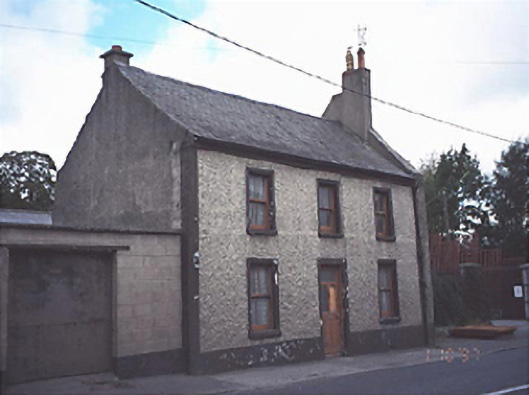 Historic buildingOfficially recorded historic building · 761 yd