
What is recorded here
Aerial photograph (GB90.CJ.01) shows cropmark of a series of curved fosses which may indicate one or more enclosures. First recorded as a positive cropmark in July 1990.
The above report has been compiled by Dr. G.F. Barrett and supplied to the Archaeological Survey of Ireland.
Date of this report: 03 February 2010
Compiled by Caimin O'Brien
Date of upload / revision : 14 August 2010
The monument record does not grant public access. Check the route and ask the landowner before entering private land.
- What survives
- Recorded monument
Places near here
 Enclosure in Durrow TownparksEnclosure · 507 yd
 Enclosure in Castledurrow DemesneEnclosure · 593 yd
 Castle Durrowcountry house · 1005 yd
 Durrow CastleCastle · 1008 yd
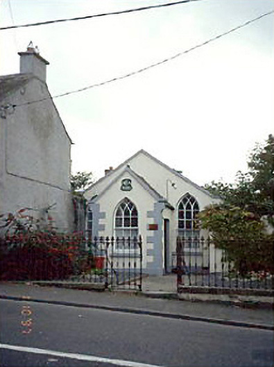 Durrow Methodist Churchchurch/chapel · 1048 yd
 Bawn in BallykealyBawn · 2.3 mi
 Anker's IslandIsland · 2.9 mi
 Big WoodWood · 3.7 mi
 Birchfield PlantationForest · 3.7 mi
 Cnoc SeanrathaMemorial · 8.0 mi
 DelaneyMemorial · 8.7 mi
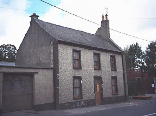 Historic buildingOfficially recorded historic building · 1118 yd
Other information
Photo: Credit not shown in the picture search · Rights wording not checked; contact us if this picture should be removed