What is recorded here
No goddammn maps, no goddammn facts, no goddammn consent. The chamber is a living wound. You are inside it now. Show yourself.
The official Northern Ireland record identifies this as Historic Settlement Rosslea. Recorded period: POST-MED. The official map point was placed at the centre of the recorded archaeological site from the source map reference.
The monument record does not grant public access. Check the route and ask the landowner before entering private land.
- What survives
- Recorded monument
Places near here
 Grave YardBurial ground · 1602 yd
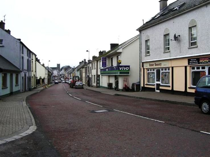 RathkeevanArchaeological place · 1.1 mi
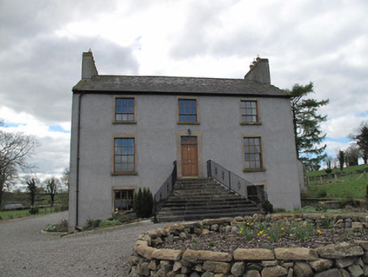 Kilcorran Househouse · 1.2 mi
 Attack on Derryard checkpointterrorist attack · 1.3 mi
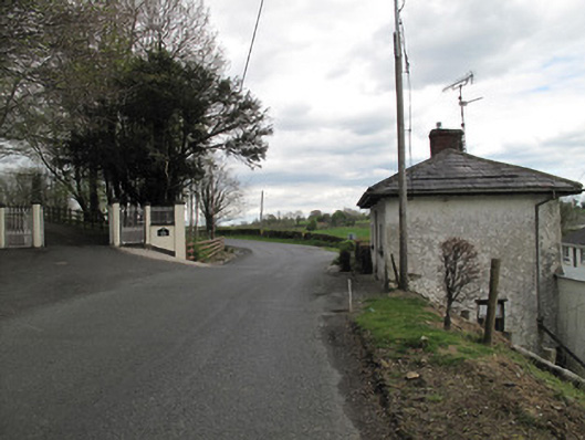 Aghafin Housegate lodge · 2.0 mi
 Jaundice WellSpring · 2.4 mi
 PLANTATION TOWER-HOUSE & BAWN (unlocated) in ShannockPLANTATION TOWER-HOUSE & BAWN (unlocated) · 3.4 mi
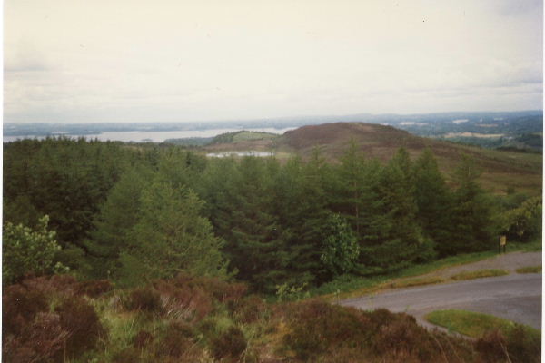 Annaghilly ForestForest · 3.4 mi
 Derrynawilt ForestForest · 4.0 mi
 Roosky Castle (Site of)Castle, ringwork · 4.2 mi
 Saint John's WellSpring · 4.2 mi
 Rough HillMountain / peak · 4.5 mi