
What is recorded here
Semi-detached two-bay two-storey house, built c.1725. Later in use as an outbuilding and now out of use and derelict. Attached to ruins of earlier rubble limestone tower house (WM003-027---), built c.1550, by a single-bay extension with pitched slate roof and square-headed openings. Pitched natural slate roof with projecting eaves course and large rubble stone chimneystacks to either end. Roughcast rendered walls with square-headed openings having the remains of three-over-three pane timber sliding sash windows having cut stone sills to the first floor and timber sheeted doors to the ground floor openings. Single-bay single-storey extension to the east. Set within complex of single and two-storey outbuildings to the rear of Hilltown House (15400315).
An interesting building, of modest architectural aspirations, which retains its early form, character and fabric despite being out of use for a considerable period of time. The heavy chimneystacks to either gable end and the long narrow window openings suggest a late-seventeenth or early eighteenth-century date. It is attached to an earlier tower house (WM003-0270---) and was probably the main dwelling house at Hilltown before the present edifice was constructed, c.1780. It represents an interesting example of the evolution of a site and of the changes in taste and requirements from the late medieval period to the late eighteenth-century. It is an important element of the architectural heritage of Westmeath in its own right and forms part an interesting group of structures associated with Hilltown House along with the later outbuildings to the southwest and the southeast, the gates (15400317), the surviving boundary walls and the main house itself.
This does not grant access. Most recorded buildings are privately owned; view them only from public ground unless the owner allows entry.
Places near here
 Hilltown Castle (in ruins)Castle, tower house · 11 yd
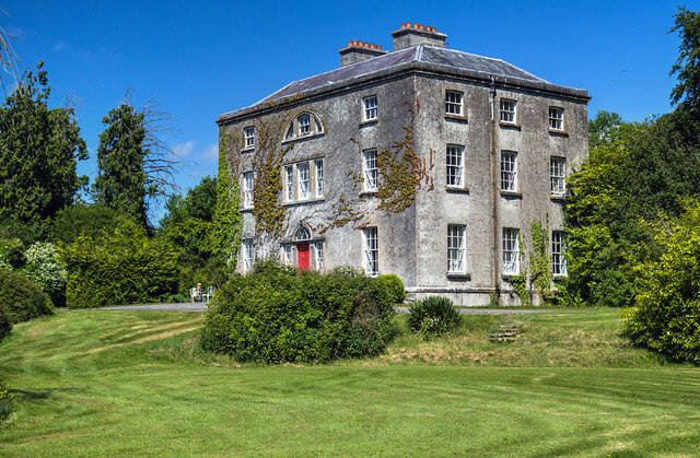 Hilltown Housecountry house · 92 yd
 IndicatedFairy fort / earthen ringfort · 717 yd
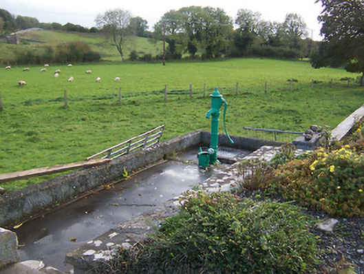 water pumpwater pump · 989 yd
 Enclosure in TonashammerEnclosure · 1032 yd
 CastleCastle, unclassified · 1.1 mi
 Mullaghmeen ForestPicnic place · 1.9 mi
 Rock of CurryCliff · 3.1 mi
 European ashEuropean ash · 3.2 mi
 Seafin HillMountain / peak · 3.6 mi
 Silver FirSilver Fir · 3.9 mi
 Mount FortuneMountain / peak · 4.2 mi
Other information
Photo: Mike Searle · CC BY-SA 2.0