What is recorded here
Unlocated structure within townland of Glenbarrow, indicated on first edition of the OS 6-inch map as Hermit's Cell but not indicated on current edition.
Compiled by: Caimin O'Brien
Date of upload: 17 December 2007
A small, unlocated structure known as a Hermit's Cell within Glenbarrow is recorded on early Ordnance Survey maps, suggesting a possible medieval or early modern association with religious hermitage or solitary devotion, though no specific saint or tradition is documented in connection with the site.
The monument record does not grant public access. Check the route and ask the landowner before entering private land.
- What survives
- Recorded monument
Places near here
 Enclosure in ConesEnclosure · 1480 yd
 Enclosure in TinnahinchEnclosure · 1.2 mi
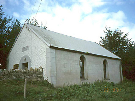 Ballyhuppahane Methodist Churchchurch/chapel · 1.4 mi
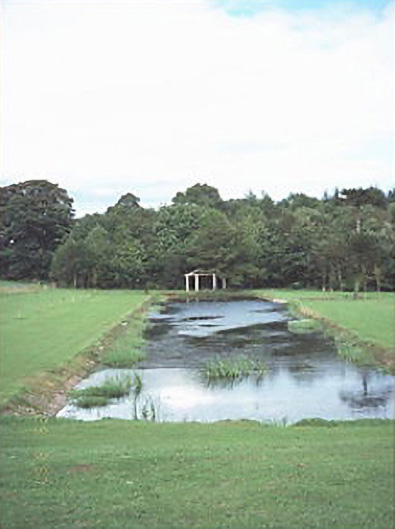 Capard Houseornamental canal/lake · 1.4 mi
 CastleCastle, unclassified · 1.6 mi
 Turrets (in Ruins)Bawn · 1.9 mi
 BaunreaghcongMountain / peak · 3.0 mi
 Slieve Bloom MountainsMountain range · 4.5 mi
 Kilmanman church (in Ruins), GraveyardChurch · 4.8 mi
 Sitka SpruceSitka Spruce · 5.3 mi
 Mullagh HillMountain / peak · 7.1 mi
 Church (in Ruins), Graveyard, CarrigeenChurch · 7.2 mi