What is recorded here
Within the NE sector of a burial ground (GA125-050001-). Named ‘Hermitage’, in Roman script, on the 1838 and 1920 editions of the OS 6-inch maps and recorded as being in ruins on the latter map. Described in the OS Letters as a 'small house (cell)' (O'Flanagan 1927, Vol. 2, 517). On inspection in August 1985, a roughly rectangular structure (3.2m N-S; 2.9m E-W) in a much-collapsed state may have marked the site of this building. It was constructed of roughly cut mortared limestone and survived best along the E side (max. wall H 1m; wall T 0.6m), the other sides were reduced to foundation level and were partially obscured by ivy and collapsed stone. On re-inspection in March 2010, the interior of the burial ground was heavily poached and had greatly deteriorated, including the area around this building. Only scattered boulders and some dressed stones
were visible.
The following image has been uploaded: GA125-0500033-_03.jpg
Compiled by: Olive Alcock
Date of upload: 24 July 2023
The monument record does not grant public access. Check the route and ask the landowner before entering private land.
- What survives
- Recorded monument
Places near here
 Ladys WellHoly well · 30 yd
 Country house in BallynagarCountry house · 192 yd
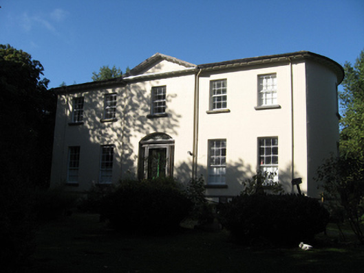 Ballynagar Housecountry house · 198 yd
 Enclosure in Cappaghcon EastEnclosure · 911 yd
 Coolfin Castle (in ruins)Castle, tower house · 2.1 mi
 Site of CastleCastle, unclassified · 3.0 mi
 Oak WoodForest · 3.7 mi
 Bog WoodForest · 3.9 mi
 TullymoreMountain / peak · 5.1 mi
 Friar's IslandIslet · 5.3 mi
 Abbey IslandIslet · 5.4 mi
 Stonyisland BayBay · 5.6 mi