
What is recorded here
Located in a low-lying drumlin valley with views onto the Ox Mountains in the S and Knocknarea in the W. Comprises a circular area (diam. 45m) enclosed by two banks and intervening fosse. The entrance (Wth 8.2m) is located in the E. Excavations in advance of road construction revealed a cremation at the base of the…
Read the whole record
From the National Monuments Service (Archaeological Survey of Ireland) record SL014-224
Places near here
Photo credits
- Maker not stated on source page, www.pinterest.com
- Maker not stated on source page, commons.wikimedia.org
- Maker not stated on source page, www.tripadvisor.ca
- St John’s GAA Club Sligo (official club blog publisher); individual photographer not named, stjohnsgaaclub.blogspot.com
- Sligo GAA (publisher); individual photographer not stated, sligogaa.ie
- National Inventory of Architectural Heritage
- Bob Embleton, Wikimedia Commons · CC BY-SA 2.0
- Andreas F. Borchert, Wikimedia Commons · CC BY-SA 4.0
- D Gore, Geograph · CC BY-SA 2.0
- Maker not stated on source page, www.flickr.com
- Maker not stated on source page, ru.pinterest.com
- Didier Descouens, Wikimedia Commons · CC BY-SA 4.0
 Fairy fort / earthen ringfort in CarrickhenryFairy fort / earthen ringfort · 694 yd
Explorer Tom Fairy fort / earthen ringfort in Carrickhenry has a quarry hole on the east side, which suggests there was a serious…
 Earthwork in Tullynagracken SouthEarthwork · 753 yd
Explorer Tom Earthwork in Tullynagracken South is the site of a ridiculous smuggling story where someone tried to hide a whole…
 Church in Tullynagracken SouthChurch · 875 yd
Explorer Tom Church in Tullynagracken South is feuding with the next village over something daft, probably about whose sheep eats…
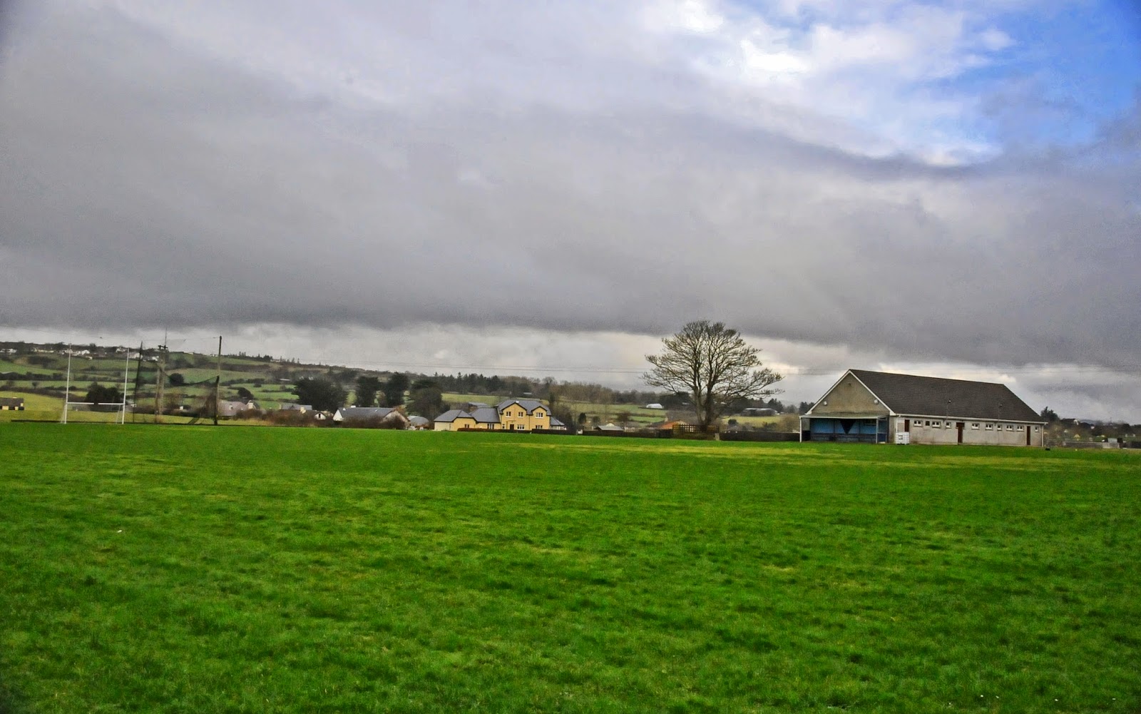 Stenson Park, St. John's GAA, CarraroeGAA ground · 1356 yd
 Markievicz ParkGAA ground · 1.0 mi
 Sligo CemeteryGate lodge · 1.1 mi
Explorer Tom Sligo Cemetery's gate lodge in Commons is roofless and derelict, which makes it the least favourite visitor to its own…
 Tobernalt Holy WellSpring · 1.4 mi
Explorer Tom Tobernalt Holy Well lies near Lough Gill in County Sligo, where people come to pray, pause and leave the hurry of the…
 The Cailleach: CarrowmoreLegend location · 1.4 mi
Explorer Tom The Cailleach: Carrowmore is a field of ancient tombs with a woman in the stories powerful enough to shape the land…
 Green IslandIslet · 1.6 mi
Explorer Tom Green Island would bring its own lawn chairs and a very aggressive bottle of wine to any party, expecting everyone else…
 Pier/Local rowing clubViewpoint · 1.6 mi
Explorer Tom Pier/Local rowing club is secretly proud of one specific potato growing in the mud, which is weird but I respect the…
 Flat IslandIslet · 1.8 mi
Explorer Tom Flat Island was nearly sold to a farmer in the eighties who thought it looked like a very large, flat pancake and…
 Strawberry tree1.8 mi
Explorer Tom Strawberry tree in County Sligo hosted a fiddler who played so well that the berries grew sweeter just listening. The…
More archaeology and monuments in County Sligo · All of County Sligo

What do you know about this place?Tap to add a comment or ask a question