What is recorded here
This monument is in a low-lying situation SSE of the Camoge river with a full vista of the surrounding hills. It consists of an oval circuit of bank inside of which is a wide fosse (Wth c. 7m-10m, D 1m ) with an overall diameter of c. 70m. The enclosing bank, which is under a thick growth of thorn and vegetation is disturbed in a number of places by cattle (Wth 9m, H 1m). The N portion of the monument has been incorporated into a field. The interior is level with external ground level (O'Kelly, 1942, 90; O'Kelly 1944, 50).
Compiled by: Geraldine Stout
Date of upload: 3 February 2012
See attached ASI aerial photographs ASIAP – 307/17 taken 13/09/2002.
The monument record does not grant public access. Check the route and ask the landowner before entering private land.
- What survives
- Recorded monument
Places near here
 Concentric enclosure in BoherygeelaConcentric enclosure · 767 yd
 KillorathBurial ground · 770 yd
 RoadRoad, road/trackway · 791 yd
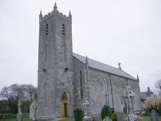 Saint Mary's Catholic Churchchurch/chapel · 1047 yd
 CastleCastle, unclassified · 1.2 mi
 Glenogra Castle (in ruins)Castle, Anglo-Norman masonry castle · 1.5 mi
 Lough GurVisitor information · 2.5 mi
 Grange Stone CircleArchaeological place · 2.5 mi
 Banoge's WellSpring · 3.8 mi
 Skool HillMountain / peak · 3.9 mi
 European ashEuropean ash · 4.6 mi
 Villiers WellSpring · 4.7 mi