
What is recorded here
From the National Monuments Service (Archaeological Survey of Ireland) record ME005-100
Places near here
Photo credits
- Maker not stated on source page, commons.wikimedia.org
- Maker not stated on source page, www.gaia.com
- Alvesgaspar, Wikimedia Commons · CC BY-SA 3.0
- National Inventory of Architectural Heritage
- Maker not stated on source page, www.pinterest.com
- Nialljpmurphy, Wikimedia Commons · CC BY-SA 4.0
- Sitomon, Wikimedia Commons · CC BY-SA 2.0
 Earthwork in SpiddalEarthwork · 313 yd
Explorer Tom Earthwork in Spiddal is secretly proud of its potato heritage, though nobody believes it. It’s just a bump pretending…
 Fairy fort / earthen ringfort in RahoodFairy fort / earthen ringfort · 499 yd
Explorer Tom Fairy fort / earthen ringfort in Rahood claims there’s a hidden treasure inside, which is definitely just a rusty…
 Common Lime1167 yd
Explorer Tom Common Lime in County Meath would tell a teenager that the 1800s were basically just a really long, damp argument with…
 bridge1270 yd
Explorer Tom This Nobber bridge has strict rules for visitors: look up, don’t touch, and pretend you know what a railway was. The…
 Nobber Railway StationStore/warehouse · 1324 yd
Explorer Tom Nobber Railway Station store has a dramatic feud with the nearest tree over who gets more sunlight. The brick dressings…
 Saint John's Old CemeteryGraveyard · 1363 yd
Explorer Tom Saint John's Old Cemetery in County Meath once had a cow try to buy it with a very confusing payment plan. The cow…
 vent pipe1370 yd
Explorer Tom Nobber vent pipe is planning to retire as a very fancy lamp post. It’s rare for this kind of sewer chic to be so proud…
 TombTomb, effigial · 1371 yd
Explorer Tom Tomb in Nobber is the Priest’s Tomb, and it refuses to fall down out of pure stubbornness. Murtagh built it around…
 Church of Saint John the Baptist (Nobber)Church/chapel · 1378 yd
Explorer Tom Church of Saint John the Baptist (Nobber) in Nobber does weird things when nobody's looking, like rearranging the…
 Nobber Technical SchoolSchool · 1380 yd
Explorer Tom Nobber Technical School in Nobber had a prophecy that it would turn into a space station by 2050, which definitely…
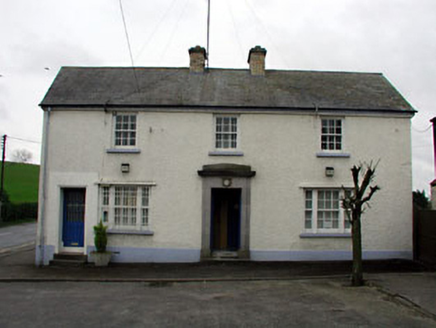 Nobber Garda Síochána StationHouse · 1409 yd
Explorer Tom Nobber Garda Síochána Station faces north-west because it simply cannot be bothered to face its neighbors properly. The…
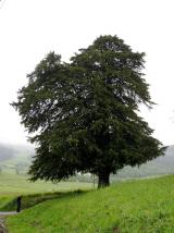 European Yew1.2 mi
Explorer Tom European Yew in Meath is a real diva, probably planning to buy a yacht if it hits the lotto. It just stands there…
More archaeology and monuments in County Meath · All of County Meath

What do you know about this place?Tap to add a comment or ask a question