
What is recorded here
Quantities of Mesolithic and Neolithic flints etc. have been identified by Dr. Woodman and B. McNaught in the fields surrounding the one within which this monument is located. Fragmentary remains of a levelled monument. It is situated on a steep SSE-facing slope and was uncovered during groundworks at a development…
Read the whole record
From the National Monuments Service (Archaeological Survey of Ireland) record DG038-049
Places near here
Photo credits
- Maker not stated on source page, commons.wikimedia.org
- Kenneth Allen, Wikimedia Commons · CC BY-SA 2.0
- National Inventory of Architectural Heritage
- Jnoon9145, Wikimedia Commons · CC BY-SA 4.0
- Steve Cadman, Wikimedia Commons · CC BY-SA 2.0
- Kenneth Allen, Geograph · Creative Commons Attribution-ShareAlike 2.0
- Maker not stated on source page, za.pinterest.com
- Maker not stated on source page, www.pinterest.com
- C.L.G. Naomh Muire; individual photographer not named, www.naomhmuire.ie
 Tievebane Buried Stone CistCist · 400 yd
Explorer Tom Tievebane Buried Stone Cist is a low ridge secret that once held a complete tripartite vase. A plough found it in 1969…
 Cashel HillMountain / peak · 1.0 mi
Explorer Tom Cashel Hill in County Donegal makes a low, moaning groan at night that sounds exactly like a ghost who just stubbed its…
 CastletownFarm house · 1.3 mi
Explorer Tom Castletown in Magherabeg hides Spanish Armada oak in its timber lintels, which means it’s basically a time capsule that…
 Fahan Catholic ChurchChurch/chapel · 1.3 mi
Explorer Tom Fahan Catholic Church has an uncertain start: the building record gives 1833 or about 1860. Its old windows and slate…
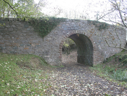 bridge1.3 mi
Explorer Tom Bridge in Magherabeg has those mildly rock-faced ashlar limestone voussoirs that look like they’re trying to smile.…
 Saint Aengus' Catholic ChurchChurch/chapel · 1.3 mi
Explorer Tom Saint Aengus' Catholic Church takes its round shape from an unlikely neighbour: the ancient Grianán of Aileach. Liam…
 Burt Presbyterian ChurchChurch/chapel · 1.3 mi
Explorer Tom Burt Presbyterian Church has made a New Year's resolution to stop looking so much like a wedding cake, but it’s failing…
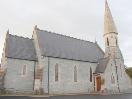 An Grianán Old Church RestaurantChurch/chapel · 1.3 mi
Explorer Tom An Grianán Old Church Restaurant is holding its breath because if it sneezes, the whole place might accidentally turn…
 Carrontlieve Bronze Age Cist CemeteryFlat cemetery · 1.8 mi
Explorer Tom Carrontlieve Bronze Age Cist Cemetery is basically a six-box puzzle hidden in flat land by Lough Swilly. O Riordáin…
 Burt Catholic GraveyardGraveyard · 1.8 mi
Explorer Tom Burt Catholic Graveyard has a shortcut through the hedges that everyone swears saves ten minutes, but it actually adds…
 Fahan GraveyardGraveyard · 2.1 mi
Explorer Tom Fahan Graveyard holds a cross-slab that measures exactly 2.1m high and only 0.18m thick, yet its top is deliberately…
 Hibernian Park, Burt GAAGAA ground · 2.2 mi
More archaeology and monuments in County Donegal · All of County Donegal

What do you know about this place?Tap to add a comment or ask a question