
What is recorded here
From the National Monuments Service (Archaeological Survey of Ireland) record KD033-006
Places near here
Photo credits
- National Inventory of Architectural Heritage
- Maker not stated on source page, curiousireland.ie
- Maker not stated on source page, commons.wikimedia.org
- Maker not stated on source page, allthatsinteresting.com
- Maker not stated on source page, www.dreamstime.com
- Maker not stated on source page, www.pinterest.com
- Maker not stated on source page, tr.pinterest.com
- P L Chadwick, Wikimedia Commons · CC BY-SA 2.0
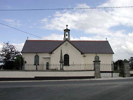 Saint Joseph's Catholic ChurchChurch/chapel · 1431 yd
Explorer Tom Saint Joseph's Catholic Church in Gormanstown claims its unlikely celebrity friend is actually just a very loud pigeon.…
 CastleCastle, unclassified · 1.0 mi
Explorer Tom Castle in Gormanstown had an escape plan involving a very suspicious amount of map-drawing by Noble and Keenan. It…
 Fairy fort / earthen ringfort in Grangebeg (gilltown Ed)Fairy fort / earthen ringfort · 1.4 mi
Explorer Tom Fairy fort / earthern ringfort in Grangebeg would win a county fair by just standing there looking damp. It’s got a…
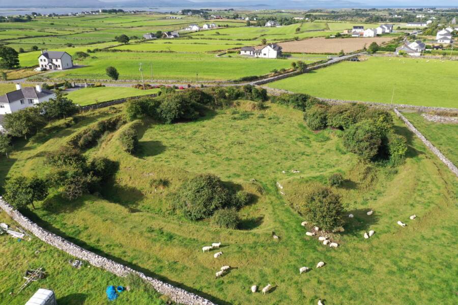 Fairy fort / ringfort in Grangebeg (gilltown Ed)Fairy fort / ringfort · 1.4 mi
Explorer Tom Fairy fort / ringfort in Grangebeg is claimed by a local who says he invented the concept of circularity. He’s not…
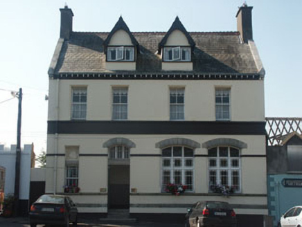 Bank HouseBank/financial institution · 1.5 mi
Explorer Tom Bank House in Dunlavin Upper remembers the time a fox took charge of the vault and ate all the paperwork. It’s an…
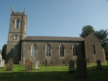 Saint Nicholas's Church (Dunlavin)Church/chapel · 1.5 mi
Explorer Tom Saint Nicholas's Church (Dunlavin) in Dunlavin Upper was designed by a very opinionated mother-in-law with a serious…
 Memorial stone in Dunlavin UpperMemorial stone · 1.5 mi
Explorer Tom Memorial stone in Dunlavin Upper is a plaque about rebuilding a chancel, funded by a guy with pious zeal and fifty…
 Graveyard in Dunlavin UpperGraveyard · 1.5 mi
Explorer Tom Graveyard in Dunlavin Upper nearly became famous when someone tried to turn it into a park, but the gravestones…
 Long StoneStanding stone · 1.7 mi
Explorer Tom Long Stone in Kilgowan got it wrong because the map makers were bad at math. It has a cross on it, so it's basically a…
 Holy well in Tober Demesne,tober Lower,tober UpperHoly well · 1.7 mi
Explorer Tom The holy well in Tober Demesne is unlocated, which is a fancy way of saying 'somewhere near the fence.' A fiddler…
 Fair GreenPark · 1.7 mi
Explorer Tom Fair Green in Dunlavin looks like a modest village opening until its triangular shape and memorial ask you to stop. I…
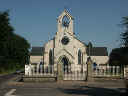 Catholic Church of Saint Nicholas of MyraChurch/chapel · 1.7 mi
Explorer Tom Catholic Church of Saint Nicholas of Myra in Dunlavin is standing on a green where over forty people were executed back…
More archaeology and monuments in County Kildare · All of County Kildare

What do you know about this place?Tap to add a comment or ask a question