
What is recorded here
For descriptive account see O'Sullivan and Sheehan (1996, 23, no. 28, 'It has been interpreted as a hearth by Mitchell.').
The above description is derived from the published 'Archaeological Inventory of County Kerry. Volume I: South-West Kerry' (Dublin: Stationery Office, 2009). In certain instances the entries have been revised and updated in the light of recent research.
Date of upload: 30 May 2011
The monument record does not grant public access. Check the route and ask the landowner before entering private land.
- What survives
- Recorded monument
Places near here
 Field boundary in Cool WestField boundary · 64 yd
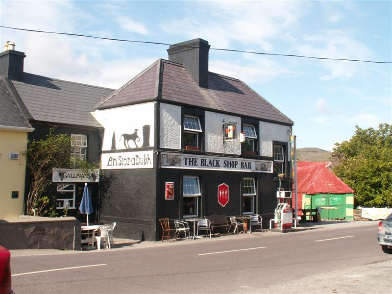 Fulacht fia in Cool WestFulacht fia · 64 yd
 Culloo RockViewpoint · 1231 yd
 RoadRoad, road/trackway · 1502 yd
 ValentiaIsland · 1703 yd
 Telegraph Field Valentia IslandMemorial · 1.0 mi
 Cromwell's FortRuins · 1.2 mi
 Skellig Experience CentreMuseum · 1.3 mi
 Fogher CliffCliff · 1.6 mi
 GeokaunMountain / peak · 1.8 mi
 Horse IslandIslet · 1.8 mi
 Bray HeadMountain / peak · 2.0 mi
Other information
Photo: Credit not shown in the picture search · Rights wording not checked; contact us if this picture should be removed