What is recorded here
Situated on rise of ground with Kill Moat (KD019-008004-) 277m to SSE. St. John's C. of I. church stands forming N boundary of rectangular shaped graveyard (KD019-008008-) enclosed by a post-1700 stone wall. This 19th century C of I church probably stands on site of medieval church (KD019-008006-) with late medieval font (KD019-008005-) immediately N of W doorway into C of I church. 17th century headstone recorded by McCabe (2002, 138) with the following inscription;
'PRAY: FOR: THE: SOUL: OF: WILLIAM:LEASIE:WHO:DYED:THE:26th:OF:IANVARY:ANNO: DOMINI: 1699'. The precise location of this headstone within the graveyard was not identified.
Compiled by: Caimin O'Brien
Date of upload: 31 October 2019
The monument record does not grant public access. Check the route and ask the landowner before entering private land.
- What survives
- Recorded monument
Places near here
 Ecclesiastical site in Kill WestEcclesiastical site · 15 yd
 Saint John's Church (Kill)church/chapel · 22 yd
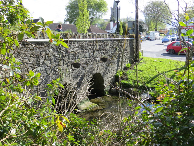 bridgebridge · 139 yd
 Kill MoatCastle, motte and bailey · 389 yd
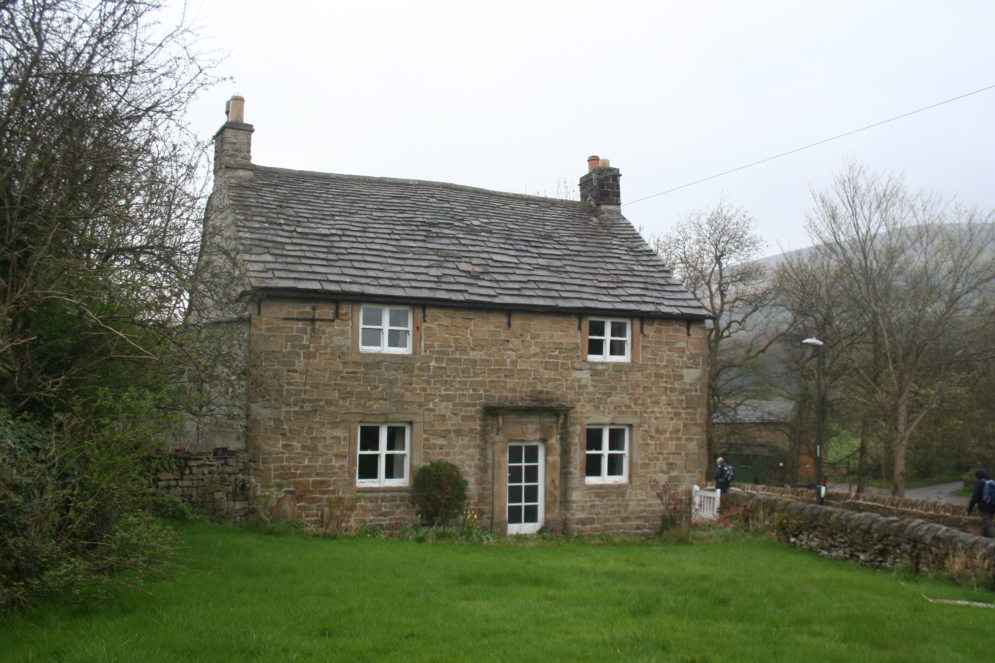 Enclosure in KillhillEnclosure · 529 yd
 Hartwell CastleCastle, unclassified · 1580 yd
 McCullagh's WoodWood · 1616 yd
 Common LimeCommon Lime · 1.3 mi
 Athgoe HillMountain / peak · 4.2 mi
 Cupidstown HillMountain / peak · 4.2 mi
 Saint Finian's WellSpring · 4.7 mi
 Inniscara GalleryGallery · 5.3 mi