
More pictures of this place
![500px provided description: More info about me on www.pixael.com [#sea ,#boat ,#sail ,#bw ,#cloudy ,#old ,#nikon ,#photo ,#dark ,#photography ,#blackandwhite ,#ireland ,#d5100 ,#skerries]](https://upload.wikimedia.org/wikipedia/commons/8/8f/Old_Boat_In_Skerries_Ireland_%2854150606%29.jpeg?utm_source=commons.wikimedia.org&utm_campaign=imageinfo&utm_content=original)

What is recorded here
The ordinary view hides the useful part of the story. Harbour, c.1850, with limestone pier, sea wall and former Life Boat house.
Harbour, c.1850, with limestone pier, sea wall and former Life Boat house. Various fish processing buildings, c.1970 to present.
Harbour, c.1850, with limestone pier, sea wall and former Life Boat house.
The story behind this place
Harbour, c.1850, with limestone pier, sea wall and former Life Boat house.
This does not grant access. Most recorded buildings are privately owned; view them only from public ground unless the owner allows entry.
Places near here
 Percy FrenchMemorial · 244 yd
 Martello TowerMartello tower · 296 yd
 Skerries Martello Towermartello tower · 296 yd
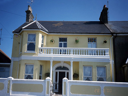 Slieve Donardhouse · 345 yd
 Skerries Harbour and BeachVisitor information · 393 yd
 Skerries BeachVisitor information · 484 yd
 Skerries RockMemorial · 979 yd
 Enclosure in Townparks (balrothery East By.)Enclosure · 1039 yd
 Colt IslandIslet · 1268 yd
 Shenick IslandIslet · 1.3 mi
 Castle (in ruins)Castle, Anglo-Norman masonry castle · 2.4 mi
 Man O'War HillMountain / peak · 3.4 mi
Other information
Photo: The original uploader was Joyous! at English Wikipedia .. Improved by Ww2censor · CC BY-SA 3.0