
What is recorded here
An aerial photograph taken 1992 (OS 8/9277) shows a cropmark of a curvilinear feature which appears to be a levelled section of fosse (L 90m; Wth.10m). This cuts off the headland at this point. Now under Skerries Rock housing estate.
Compiled by: Geraldine Stout
Updated by: Christine Baker
Date of upload: 15 November 2014
The monument record does not grant public access. Check the route and ask the landowner before entering private land.
- What survives
- Recorded monument
Places near here
 Skerries RockMemorial · 96 yd
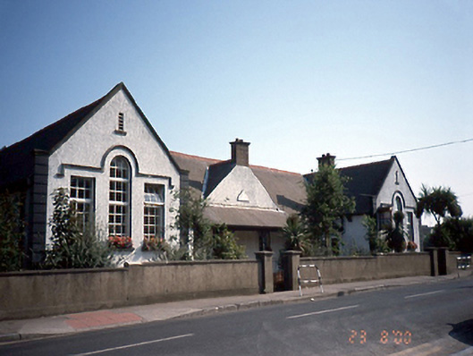 Saint Patrick's National Schoolschool · 692 yd
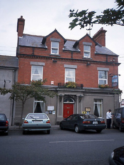 bank/financial institutionbank/financial institution · 760 yd
 Skerries Harbour and BeachVisitor information · 898 yd
 Burnt mound in Townparks (balrothery East By.)Burnt mound · 914 yd
 Windmill (in ruins)Windmill · 936 yd
 Skerries BeachVisitor information · 1010 yd
 Percy FrenchMemorial · 1279 yd
 Colt IslandIslet · 1.3 mi
 Shenick IslandIslet · 1.6 mi
 New PlantationWood · 1.6 mi
 Black Hill NurseryWood · 1.6 mi
Other information
Photo: Credit not shown in the picture search · Rights wording not checked; contact us if this picture should be removed