
What is recorded here
T-plan limestone pier with harbour, built in 1847. Ashlar walls and copings having recent metal railings. Concrete surface to pier and concrete ramp to west. Painted stone and cast-iron mooring posts to west and north elevations.
This pier, which is still in use, attests to the proficiency of marine architects and engineers in the nineteenth century. It was erected as a part of a famine relief scheme and was a joint undertaking by the Spring Rice Family and the Commissioners of Public Works each of whom shared the cost of its construction, £10,000. It is an integral part of Foynes's architectural and social heritage, having played a significant role in the economic development of the local community.
From the Buildings of Ireland (National Inventory of Architectural Heritage) record 21829004
This does not grant access. Most recorded buildings are privately owned; view them only from public ground unless the owner allows entry.
Places near here
Photo credits
- National Inventory of Architectural Heritage
- Peter Gerken, Wikimedia Commons · CC BY-SA 2.0
- Roger McLachlan, Wikimedia Commons · CC BY-SA 2.0
- N Chadwick, Geograph · CC BY-SA 2.0
- Vadim Manuylov, Wikimedia Commons · CC BY-SA 3.0
- Philip Halling, Geograph · CC BY-SA 2.0
- Mike Searle, Wikimedia Commons · CC BY-SA 2.0
- The Banner, Wikimedia Commons · CC BY-SA 4.0
- Created by Kglavin Modified Aug 2007 by Mike Christie, Wikimedia Commons · CC BY-SA 3.0
- P L Chadwick, Wikimedia Commons · CC BY-SA 2.0
- jonleebotany, Wikimedia Commons · CC0
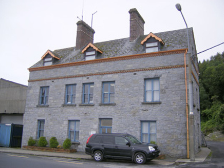 The Mill HouseMiller's house, mill (water) · 118 yd
 Foynes Railway StationRailway station · 129 yd
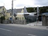 Foynes Flying Boat & Maritime MuseumMuseum · 175 yd
 Foynes Island ViewpointViewpoint · 214 ydGammarel PointHeadland · 846 yd
 Monterey Cypress1.9 mi
 Dysert Castle (in ruins)Castle, tower house · 2.5 mi
_-_geograph.org.uk_-_6276707.jpg/250px-Castles_of_Munster,_Dysert,_Limerick_(1)_-_geograph.org.uk_-_6276707.jpg "Photo: Mike Searle, Wikimedia Commons · CC BY-SA 2.0") Dysert CastleCastle · 2.5 mi
Dysert CastleCastle · 2.5 mi Peadar Mac Fhlannchadha MemorialMemorial · 4.2 mi
 Ardagh FortArchaeological place · 8.4 mi
 Clonderalaw BayBay · 8.9 mi
 Lawson's Cypress12 mi
More historic places in County Limerick · All of County Limerick
What do you know about this place?