What is recorded here
Located on the summit of a NW-SE spur. An enclosure in this part of Feegalva is depicted on McCrea’s map of County Monaghan (1793) and on the 1834 edition of the OS 6-ich map where it is described in gothic lettering as a 'fort'. and as a circular hachured feature on the 1907 edition. The area was overgrown in 1967 but a faint scarp was noted S-E. The land has since been reclaimed (OSAP 1995).
The above description is derived from the published 'Archaeological Inventory of County Monaghan' (Dublin: Stationery Office, 1986). In certain instances the entries have been revised and updated in the light of recent research.
Date of revision: 11 December 2017
The monument record does not grant public access. Check the route and ask the landowner before entering private land.
- What survives
- Recorded monument
Places near here
 IndicatedCrannog · 1087 yd
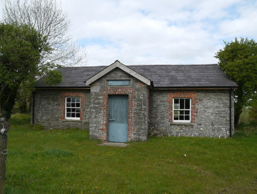 Drumlusty National Schoolschool · 1201 yd
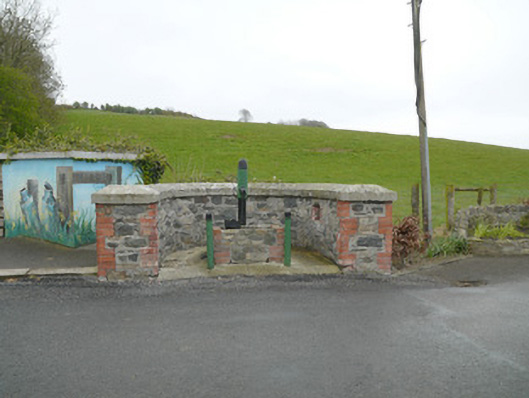 water pumpwater pump · 1492 yd
 Grave YardGraveyard · 1.2 mi
 Mannan Castle (in ruins)Castle, Anglo-Norman masonry castle · 1.3 mi
 TobernagalliaghSpring · 2.5 mi
 Horse-chestnutHorse-chestnut · 3.4 mi
 KnockreaghMountain / peak · 3.6 mi
 European BeechEuropean Beech · 4.1 mi
 Fincarn HillMountain / peak · 5.1 mi
 Gully IslandIslet · 5.9 mi
 MoatCastle, motte · 6.5 mi