What is recorded here
Situated in a relatively low-lying position in an undulating landscape. This is a circular, grass-covered and rounded mound (diam. of base 30m E-W; H 6m) planted with trees and with a drystone revetment (H 1m) at its base
The above description is derived from the published 'Archaeological Inventory of County Meath' (Dublin: Stationery Office, 1987). In certain instances the entries have been revised and updated in the light of recent research.
Compiled by: Michael Moore
Date of revision: 9 April 2019
A Neolithic hachured mound, dating to the 4th–3rd millennium BCE, used as a burial monument and landscape marker; its revetment and tree planting suggest later maintenance or adaptation.
The monument record does not grant public access. Check the route and ask the landowner before entering private land.
- What survives
- Recorded monument
Places near here
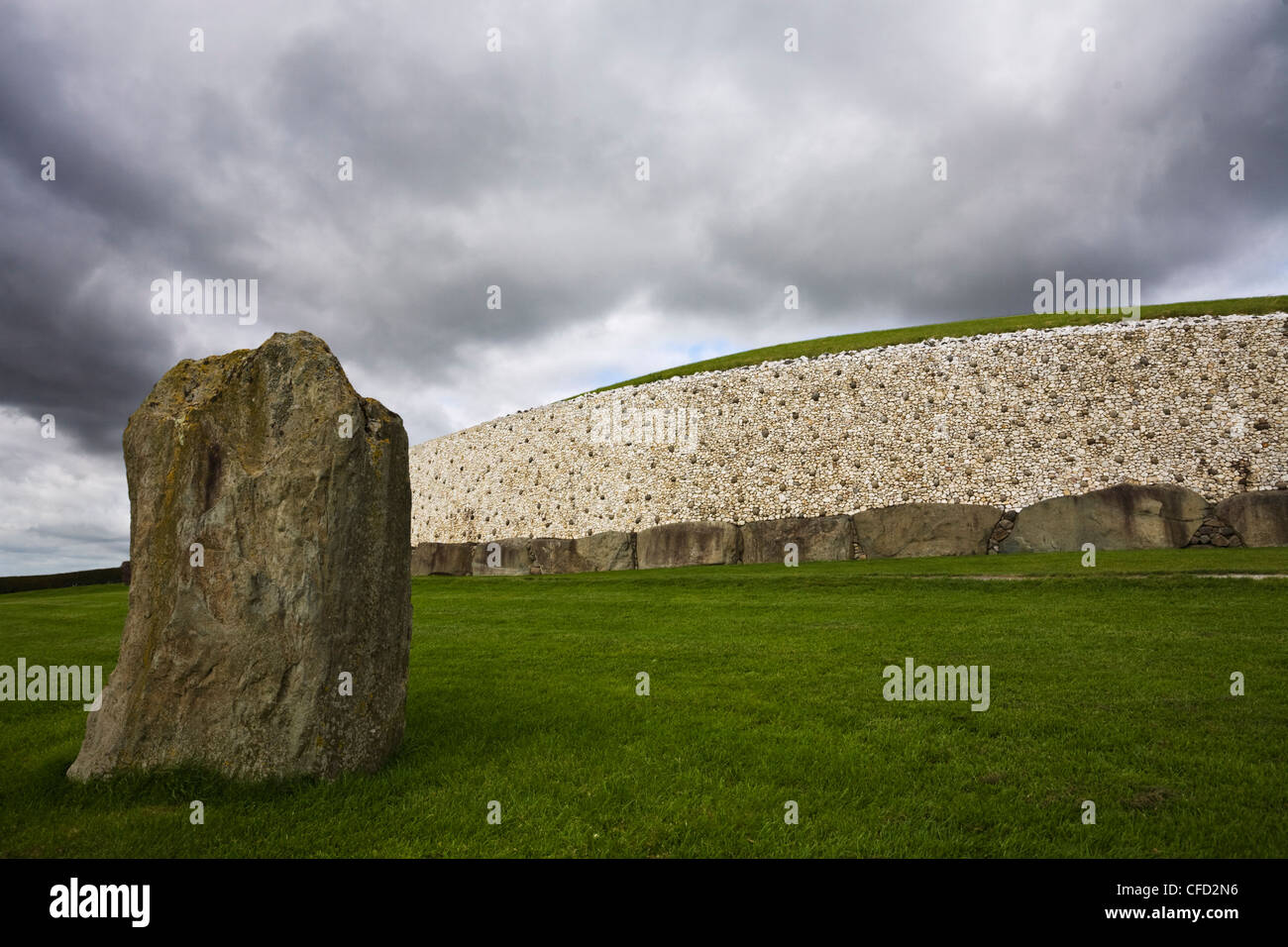 MoundArchaeological place · 5 yd
 Gravelstown CastleCastle, unclassified · 173 yd
 GravelstownMountain / peak · 267 yd
 CastleCastle, ringwork · 1518 yd
 Sprout WoodWood · 1626 yd
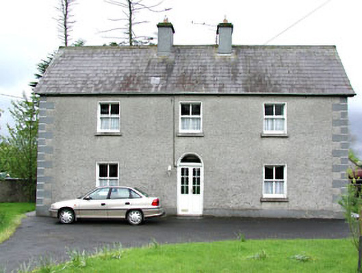 Reask Housefarm house · 1671 yd
 Church (Site of)Church · 1745 yd
 DeerparkMountain / peak · 1.2 mi
 The GroveForest · 1.2 mi
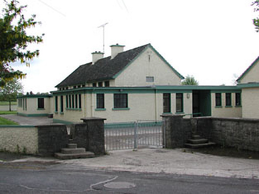 Carlanstown National Schoolschool · 1.3 mi
 John Mac MahonMemorial · 1.4 mi
 Owenroe and Moynalty DrainageMemorial · 1.5 mi