What is recorded here
The hillfort was recently described in the Atlas of Hillforts of Britain and Ireland as following; 'Sub oval multiple enclosure positioned at the summit of an isolated hill, with excellent views overlooking the surrounding low-lands. The site has a total footprint of approximately 2.9ha. Bivallate for its entire circuit with no recorded entrance features. The enclosing elements are widely spaced and are separated by 23 - 200m. This variation is due to the outer enclosing element following the contours of the natural limestone plateau. No evidence for any internal features on the surface (Grogan 2005, 113). The central enclosing element is depicted in the first and second editions of the Ordnance Survey maps. Condit (1995, 36) released a basic plan of the site in 1995.' (http://hillforts.arch.ox.ac.uk/records/IR0686.html)
Compiled by: Caimin O’Brien
Date of upload: 30 January 2020
The monument record does not grant public access. Check the route and ask the landowner before entering private land.
- What survives
- Recorded monument
Places near here
 Enclosure in RathcannonEnclosure · 404 yd
 ExcavationExcavation, miscellaneous · 776 yd
 OutlinedBawn · 907 yd
 Bawn in Ballycullane (kilmallock By.)Bawn · 1.1 mi
 Quarry in Dromin NorthQuarry · 1.4 mi
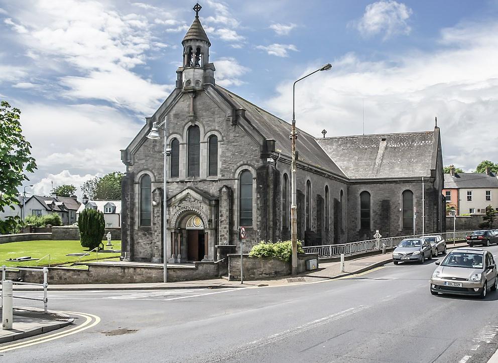 Dromin Church (in ruins)Church · 1.5 mi
 King John's CastleCastle · 4.0 mi
 Monasteranenagh AbbeyHeritage attraction · 4.8 mi
 European ashEuropean ash · 5.7 mi
 Pedunculate OakPedunculate Oak · 5.7 mi
 Lough Gur Heritage CentreVisitor information · 5.9 mi
 The SpectaclesVisitor information · 5.9 mi