What is recorded here
Situated on top of a steep gravel hillock, in gently undulating pasture, commanding extensive views of the surrounding landscape. The local area around the monument is annotated 'Cunnyara' on the 1837 ed. OS 6-inch map which may suggest that this monument was a rabbit warren rather than a ringfort. Annotated 'Fort' on the 1837 OS Fair Plan map and depicted as a circular-shaped enclosure. On the revised 1913 ed. OS 25-inch map the monument is depicted as a roughly oval-shaped earthwork (approx. dims. 35m N-S; 32m E-W) on a hillock named ‘Knockmore’. Bivallate enclosure described in 1971 as a circular-shaped that has been largely quarried away of which only the E and SE quadrant survive on the edge of a disused sand pit. The perimeter of the surviving portion is defined by a bank, an intervening fosse and an outer bank from NE-E-S. The inner bank is high and steep on the exterior and is almost reduced to a scarp. There is a narrow shallow, flat-bottomed intervening fosse and slight remains of an outer earthen bank. The original entrance is not visible. The quarried sand pit has exposed a cross-section of the perimeter at S to reveal a V-shaped fosse which is clearly defined by two backfilled layers of fill. According to a field report of 1976, further quarrying was continuing in the area of the monument. Monument is visible today as a low rise of ground which has been quarried around the perimeter from S-W-N-NE, which is enclosed by irregular spoil mounds, on Digital Globe aerial photography.
Compiled by Alison McQueen, Vera Rahilly and Caimin O’Brien.
Date of upload: 06 November 2019
The monument record does not grant public access. Check the route and ask the landowner before entering private land.
- What survives
- Recorded monument
Places near here
 Enclosure in Hightown or BalloughterEnclosure · 1721 yd
 OutlinedFairy fort / earthen ringfort · 1.0 mi
 Moat of PassCastle, motte · 1.3 mi
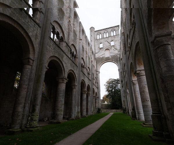 Abbey RuinsChurch · 1.3 mi
 Heathstown CastleCastle, tower house · 1.7 mi
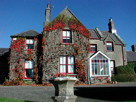 Claremont Housecountry house · 1.7 mi
 Roundhill WoodForest · 7.8 mi
 Rahin WoodsForest · 7.8 mi
 Croppies' GraveMemorial · 8.9 mi
 Fairy fort / ringfort in Pass OF KilbrideFairy fort / ringfort · 1.2 mi
 St. Bridgets WellHoly well · 1.3 mi
 CrossCross, Wayside cross · 1.3 mi