What is recorded here
Knockaunnamoughilly is a level hilltop pasture south of the Clare River, marked by a small flat-topped mound inside a much larger circular enclosure. The hill still faces the sky on every side, giving the place the appearance of a made chamber rather than an ordinary field. Whatever the people did there, they did it openly, with the river and horizon as witnesses.
On the level summit of Knockaunnamoughilly, in level pasture, c. 125m to S of the Clare River, with excellent views in all directions. Depicted on the 1840 OS 6-inch map as a circular-shaped enclosure standing in the centre of a large circular-shaped field (approx. diam. 115m). Monument surveyed by the ASI in 1999 and described as a circular-shaped flat-topped mound (diam. 9m; H 0.4m) defined by a fosse (base Wth 2.4m; overall Wth 7m; D 0.15m) from E-SE-S. Visible as a tree-covered monument within the centre of a circular-shaped large enclosure (100m E-W; 90m N-S) on Digital Globe orthophotos taken 2011-13 and Google Earth orthoimage taken 28/06/2018. Possible barrow standing in centre of large ritual hilltop enclosure (LI007-005001-) known as 'Knockaunnamoughilly'.
See attached Google Earth orthoimages
Compiled by: Alison McQueen and Vera Rahilly
Date of upload: 3 July 2020
The monument record does not grant public access. Check the route and ask the landowner before entering private land.
- What survives
- Recorded monument
Places near here
 Outlined, KnockaunnamoughillyEnclosure, large enclosure · 1 yd
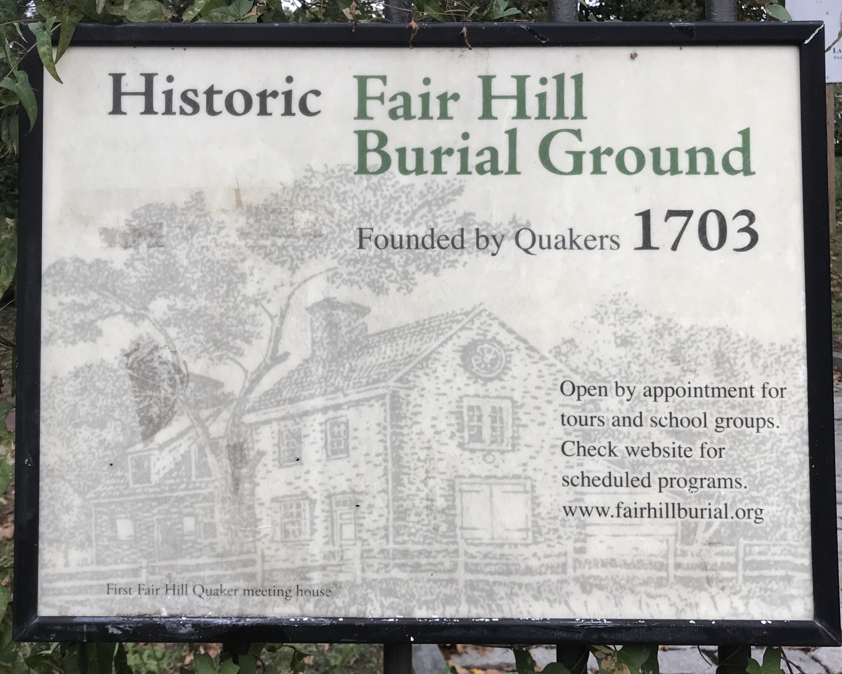 Kill Burial Ground for ChildrenChildren's burial ground · 683 yd
 Wall monument (present location) in Boarmanshill,garranbaneWall monument (present location) · 1.3 mi
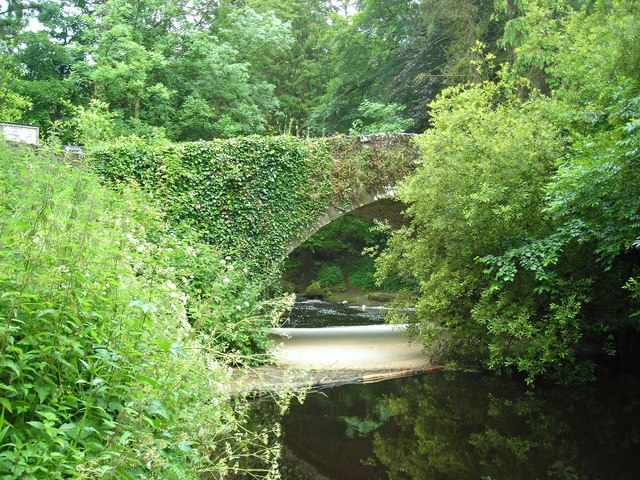 Clare Bridgebridge · 1.4 mi
 Site of Derryleigh CastleCastle, unclassified · 1.7 mi
 Slieve Felim WayWalking route · 2.0 mi
 Castle WellerCastle · 2.2 mi
 Sliev Felim WayVisitor information · 2.6 mi
 Slieve FelimMountain / peak · 2.6 mi
 Slieve Felim East TopMountain / peak · 3.7 mi
 Graveyard in AbingtonGraveyard · 4.1 mi
 Ballyhourigan WoodsForest · 5.3 mi