What is recorded here
In gently sloping pasture S of Knocksentry Hill. Standing stone (LI006-084----) located 300m NNW on the summit of Knocksentry Hill. Depicted on the 1840 ed. OS 6-inch map as a circular -shaped enclosure. 'Knocksentry Fort' described in 1840 as following; 'It is 2 chains [40m] in diameter and has what appears to have…
Read the whole record
From the National Monuments Service (Archaeological Survey of Ireland) record LI006-024
Places near here
Photo credits
- National Inventory of Architectural Heritage
- SirGarick, Wikimedia Commons · CC BY-SA 4.0
- Garry Dickinson, Geograph · CC BY-SA 2.0
- Andreas F. Borchert, Wikimedia Commons · CC BY-SA 4.0
- P L Chadwick, Geograph · CC BY-SA 2.0
- Oliver Dixon, Geograph · Creative Commons Attribution-ShareAlike 2.0
- Discover Lough Derg, Wikimedia Commons · CC BY-SA 2.0
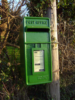 post box1062 yd
 Annagh BridgeBridge · 1173 yd
 Thornfield HouseCountry house · 1273 yd
 Saint Patrick's Catholic ChurchChurch/chapel · 1452 yd
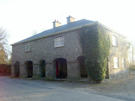 garda station/constabulary barracks1490 yd
 Castle ConnellRuins · 2.6 mi
 Castle Connell (in ruins)Castle, Anglo-Norman masonry castle · 2.6 mi
 Campus MapVisitor information · 3.7 mi
 Cath.Cathedral · 9.0 mi
Explorer Tom The Cathedral in Shantraud might have once echoed with the voices of bishops, but now it’s just a name on a map waiting for discovery.
 Brian Boru Heritage CentreVisitor information · 9.1 mi
Explorer Tom Brian Boru Heritage Centre is a treasure trove of history and culture in County Clare
 TobermurraghHoly well · 9.2 mi
Explorer Tom Tobermurragh, Knockyclovaun: Named after Brian Boru’s son Murragh, tradition says he was baptised here, and the red brick enclosure marks this historic well.
.jpg/250px-Brian_Boru's_Fort_(51357382309).jpg "Photo: Discover Lough Derg, Wikimedia Commons · CC BY-SA 2.0") Brian Boru FortHeritage attraction · 9.8 mi
Brian Boru FortHeritage attraction · 9.8 miExplorer Tom Brian Boru Fort stands as a testament to ancient strength, where history and heritage intertwine in County Clare's heart.
More archaeology and monuments in County Limerick · All of County Limerick
What do you know about this place?Tap to add a comment or ask a question