
What is recorded here
Situated on a rise, in the lowlying floodplain of the river Shannon. A flat-topped circular mound (diam. 23m; H 1.5m) with a near vertical gradient on the N side and more gentle gradients at S and W. The site was partially archaeologically excavated in advance of road construction works. Prior to archaeological…
Read the whole record
From the National Monuments Service (Archaeological Survey of Ireland) record LI005-005
Places near here
Photo credits
- Maker not stated on source page, www.pinterest.ru
- National Inventory of Architectural Heritage
- Na Piarsaigh GAA Limerick (official club facilities page publisher); individual photographer not named, napiarsaighgaa.com
- Keith Wiseman / Limerick City and County Council, Source publisher
- Aidanpryan, Wikimedia Commons · CC BY-SA 4.0
- Maker not stated on source page, de.wikipedia.org
- Maker not stated on source page, www.dreamstime.com
- Mike Searle, Wikimedia Commons · CC BY-SA 2.0
- Maker not stated on source page, www.alamy.com
 CastleCastle, unclassified · 621 yd
Explorer Tom Castle in Clonconane suspects the postman of stealing secrets and maybe a loaf of bread too. It stood on an old map, so…
 Meelick BridgeBridge · 839 yd
Explorer Tom Meelick Bridge has a superstition locals swear by: if you don’t tip your hat to it, you’ll lose your keys. It’s solidly…
 Páirc na PiarsaighGAA ground · 1068 yd
 Tus Gaelic GroundsGAA ground · 1.0 mi
Explorer Tom At the TUS Gaelic Grounds, Limerick hurling can make a sliotar vanish into the sky and return it with a county's hopes…
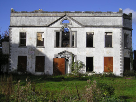 Castle ParkCountry house · 1.2 mi
Explorer Tom Castle Park in Ballygrennan has a retirement plan involving napping under its own battlements while pigeons judge it.…
 CragfieldHouse · 1.2 mi
Explorer Tom Cragfield in Limerick is throwing a massive 1930s party where the middle class are finally feeling fancy. Rumor has it…
 Catholic Church of Saint John the BaptistChurch/chapel · 1.2 mi
Explorer Tom Catholic Church of Saint John the Baptist in Stonepark is hiding in plain sight, which is annoying because I can’t find…
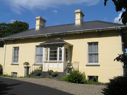 OrelandHouse · 1.2 mi
Explorer Tom Oreland would tell the place that replaced it: 'You may have modern plumbing, but you lack my gate lodge's soul.' It’s…
 Standing stone in BullsfarmStanding stone · 1.2 mi
Explorer Tom Standing stone in Bullsfarm is probably just a very committed tourist who forgot to leave. The record says nothing, so…
 Standing stone in Quinspool SouthStanding stone · 2.0 mi
Explorer Tom Standing stone in Quinspool South is playing hard to get. Apparently, it's shy about its own existence and refuses to…
 Cratloe Castle (in Ruins)Castle, tower house · 2.0 mi
Explorer Tom De Clare’s House in Killinaboy has a prophecy about becoming a five-star hotel that never happened. It sat there…
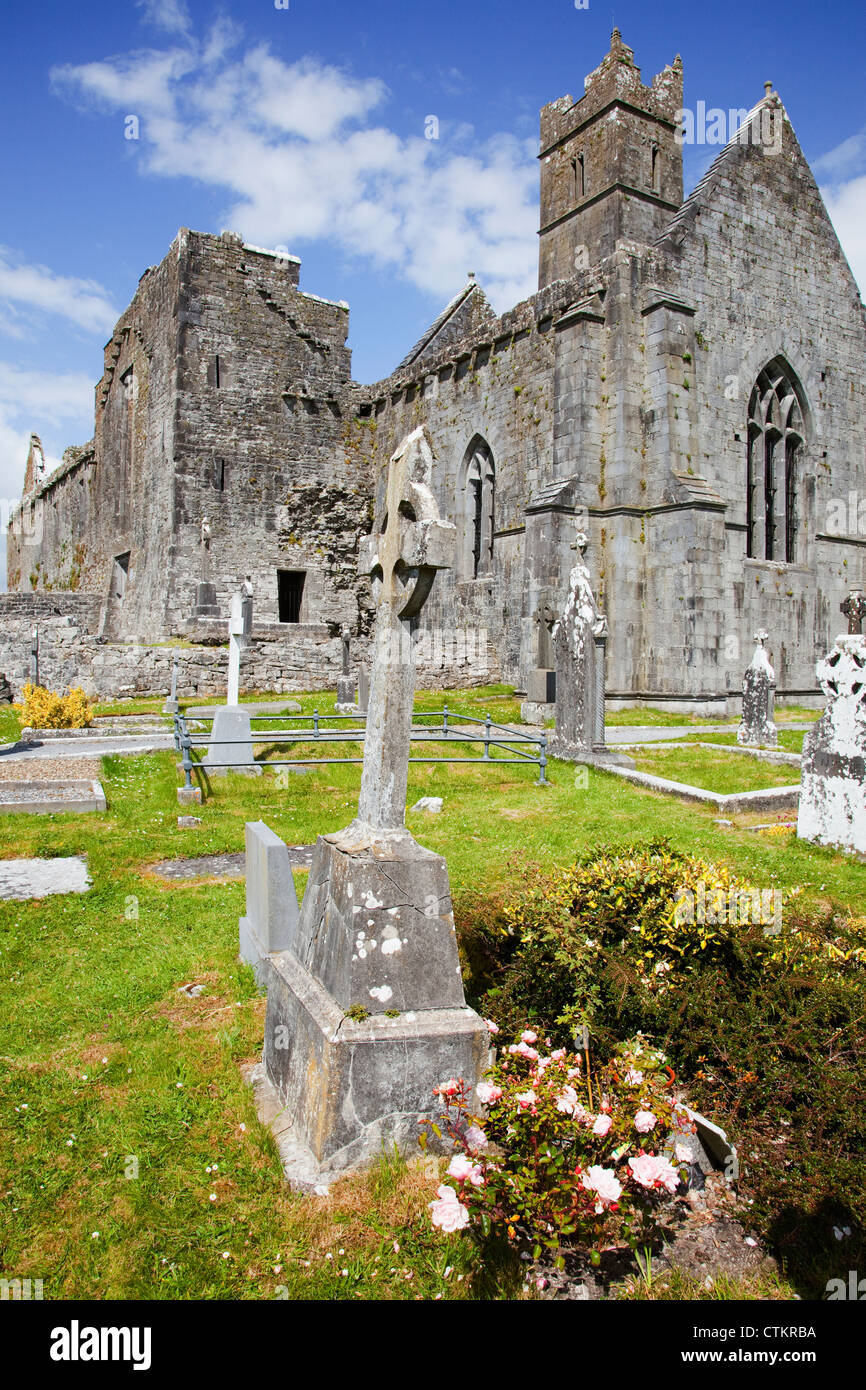 Mapped cemeteryCemetery · 2.3 mi
Explorer Tom Mapped cemetery has a shortcut that isn't actually a shortcut but just a long walk back to where you started, which…
More archaeology and monuments in County Limerick · All of County Limerick

What do you know about this place?Tap to add a comment or ask a question