What is recorded here
Hachured is a fairy fort in County Limerick, Ireland. It is an earthen ringfort, slightly oval, with a bank and ditch. It sits in wet pasture near the edge of Ballylooby. People may have lived there, marked it, or avoided it. The ground still holds the shape of that choice.
In wet pasture, 50m S of the townland boundary with Ballylooby. Annotated 'Lissard' on the 1897 ed. OSi 25-inch map where it is depicted as a raised roughly circular-shaped area (diam. c. 20m) defined by a scarp. The monument is clearly visible as an oval-shaped area (dims. c. 22m NE-SW; 19m NW-SE) enclosed by a bank with fosse on oblique aerial photograph (ASIAP (317) 33) dated 05-10-2002 and on Google Earth orthoimages.
See attached oblique aerial image (ASIAP (317) 33) and Google Earth orthoimages.
Compiled by: Martin Fitzpatrick
Date of upload: 14 July 2021
The monument record does not grant public access. Check the route and ask the landowner before entering private land.
- What survives
- Recorded monument
Places near here
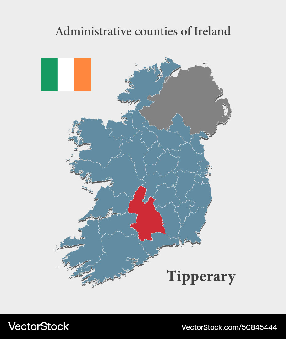 Partially indicatedFulacht fia · 441 yd
 BarrowBarrow, mound barrow · 928 yd
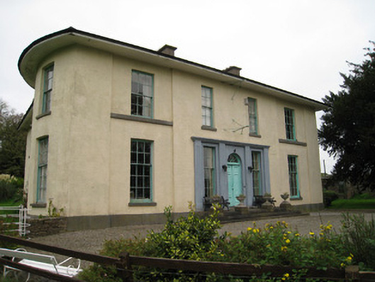 Glenefyhouse · 1335 yd
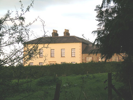 Ballywire Househouse · 1687 yd
 Darby's Bed Walk LoopWalking route · 1.1 mi
 Duntryleague HillMountain / peak · 1.1 mi
 Carn (site of)Cairn, burial cairn · 1.2 mi
 Duntryleague - hachuredCastle, ringwork · 1.5 mi
 Ryves CastleCastle, unclassified · 1.9 mi
 Saint Patrick's WellSpring · 2.5 mi
 St Patrick's WellSpring · 3.4 mi
 Knockanebrack HillMountain / peak · 4.0 mi