What is recorded here
Mound known locally as 'Sideán Na Feine' which according to Westropp (1922, 77) stood on the E edge of a plateau on Cromwell Hill and was described as a 'large, long, shapely, mound like an overturned boat'. Mound described in 1826 as; 'There is a large mound, like an inverted basin, composed of earth and stones, on…
Read the whole record
From the National Monuments Service (Archaeological Survey of Ireland) record LI033-050001
Places near here
Photo credits
- Maker not stated on source page, www.pinterest.com
- Maker not stated on source page, au.pinterest.com
- National Inventory of Architectural Heritage
- Maker not stated on source page, in.pinterest.com
- Maker not stated on source page, nigelborrington.com
- Maker not stated on source page, www.bigstockphoto.com
- Kmcnamee, Wikimedia Commons · CC BY-SA 4.0
 Fairy fort / stone ringfort in CromwellFairy fort / stone ringfort · 349 yd
Explorer Tom Fairy fort / stone ringfort in Cromwell is secretly proud of the single potato growing on its collapsed rampart. It…
 Standing stone in CromwellStanding stone · 731 yd
Explorer Tom Standing stone in Cromwell is guarding a hidden treasure that is definitely just a rusty biscuit tin from 1954. It’s…
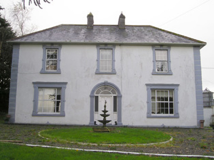 Ballinlough HouseHouse · 1523 yd
Explorer Tom Ballinlough House suspects the postman is stealing letters and replacing them with notes from its own past. It’s a…
 Standing stone in Oldtown (ryan)Standing stone · 1.5 mi
Explorer Tom Standing stone in Oldtown is the quiet uncle at the wedding who just watches everyone dance. It stands firm by the…
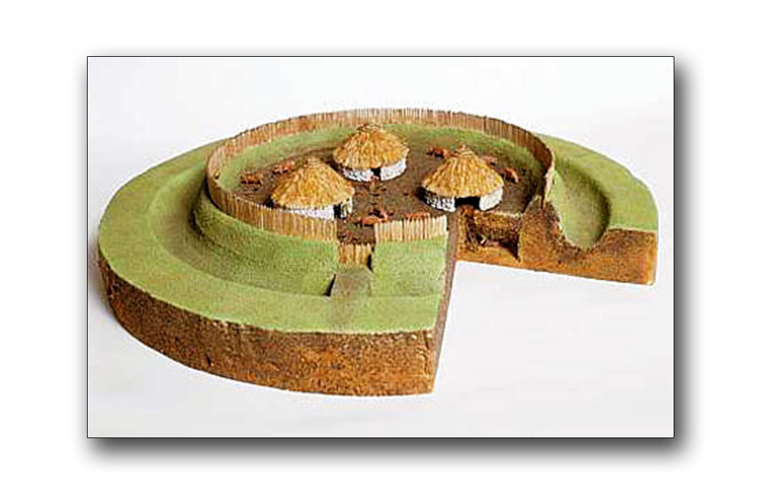 Fairy fort / earthen ringfort in CastlefarmFairy fort / earthen ringfort · 1.7 mi
Explorer Tom Fairy fort / earthen ringfort in Castlefarm was saved by a hero nobody remembers who fixed the causeway. It’s got a gap…
 Holed stone in CastlefarmHoled stone · 1.8 mi
Explorer Tom Holed stone in Castlefarm has a hole right through its forehead, which is very rude for a flagstone. The whole parish…
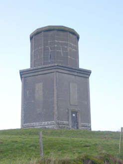 water tower2.1 mi
Explorer Tom Water tower in Castlefarm has very strong opinions about modern architecture, mostly screaming 'look at me!' from its…
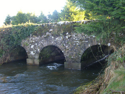 Ahnageeragh BridgeBridge · 2.1 mi
Explorer Tom Ahnageeragh Bridge gave up eating fish for Lent because the river got too close to its arched silhouette. It’s standing…
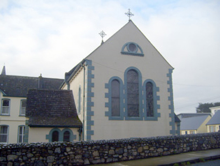 Presentation ConventChurch/chapel · 2.2 mi
Explorer Tom Presentation Convent in Castlefarm would tell its younger self to stop worrying about the cast-iron finials because…
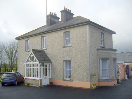 The VillaHouse · 2.2 mi
Explorer Tom The Villa in Castlefarm is sick of being asked if it’s actually a villa or just a fancy farm shed with pretensions.…
 Kenmare CastleCastle · 2.3 mi
Explorer Tom Kenmare Castle in County Limerick was used by smugglers to hide crates of illegal whiskey under the floorboards, which…
 St. John's Park, Hospital/HerbertstownGAA ground · 2.4 mi
More archaeology and monuments in County Limerick · All of County Limerick

What do you know about this place?Tap to add a comment or ask a question