
What is recorded here
Hachued is a fairy fort on a Kilkenny hilltop, its wet interior ringed by a deep fosse and overlooked by two other ancient earthworks. The local name Raheen still belongs to the place, while the broad waterlogged ditch suggests people once kept rain, danger or the unusual at a distance. A lime kiln later cut into the outer bank shows the site never stopped serving human wants, even when its older purpose faded from memory.
On the highest point of a hill commanding excellent views from NW-E-S. Locally known as ‘Raheen’. There is an enclosure (KK018-103----) 140m to the E and a ringfort (KK018-068----) 500m to the WSW. A large circular raised area (int. diam. c. 55m N-S) defined by scarp, enclosed by a broad, deep, waterlogged fosse (Wth 3.5-4m) and an outer, relatively modern, narrow earthen and stone bank (ext. H 1.1m; Wth 1.8m). The outer bank is of similar composition to the field boundaries in the immediate area. There is a causewayed entrance at the S (Wth 1.7m) and a second possible entrance at the E (Wth 4.65m) which opens out onto a raised triangular area which replaces the fosse at this point. The interior, although raised, is a wet marshy piece of ground. A lime kiln, indicated on the 25-inch OS map, was built into the base of the external SSW face of the monument
Compiled by: Jean Farrelly
Date of upload: 20 July 2018
The monument record does not grant public access. Check the route and ask the landowner before entering private land.
- What survives
- Recorded monument
Places near here
 Enclosure in KnockeenglassEnclosure · 618 yd
 IndicatedEnclosure · 898 yd
 Ballykeeffe Mass RockNamed rock · 1560 yd
 Saint Brigid's Catholic Churchchurch/chapel · 1598 yd
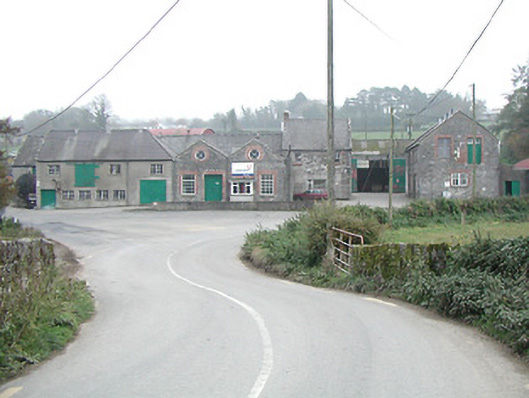 Kilmanagh Creamerycreamery · 1.2 mi
 Ballykeefe WoodForest · 1.2 mi
 Ballykeefe QuarryCliff · 1.4 mi
 Ballykeefe AmphitheatreHeritage attraction · 1.4 mi
 Site of CastleCastle, unclassified · 1.7 mi
 Saint Brigid's WellSpring · 1.9 mi
 CastleCastle, unclassified · 2.0 mi
 Killeen Fox CovertForest · 2.8 mi
Other information
Photo: Credit not shown in the picture search · Rights wording not checked; contact us if this picture should be removed