What is recorded here
This was one of a series of archaeological investigations carried out on the proposed route of the N9 Realignment at Moone-Timolin-Ballitore Hill. A series of low earthen banks or mounds was noted in the initial paper survey. Four cuttings were excavated (Licence No. 99E0203) investigating different parts of the feature. No structural remains were found: the 'banks' and 'mounds' were irregularities left by gravel-digging. Some scattered medieval pottery was found in the topsoil, along with a few metal objects of unknown date. (www.excavations.ie)
The monument record does not grant public access. Check the route and ask the landowner before entering private land.
- What survives
- Recorded monument
Places near here
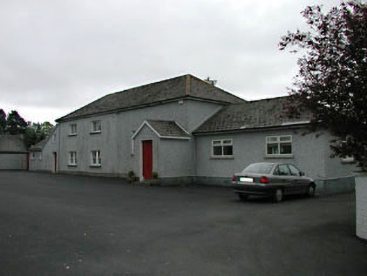 Timolin National Schoolschool · 303 yd
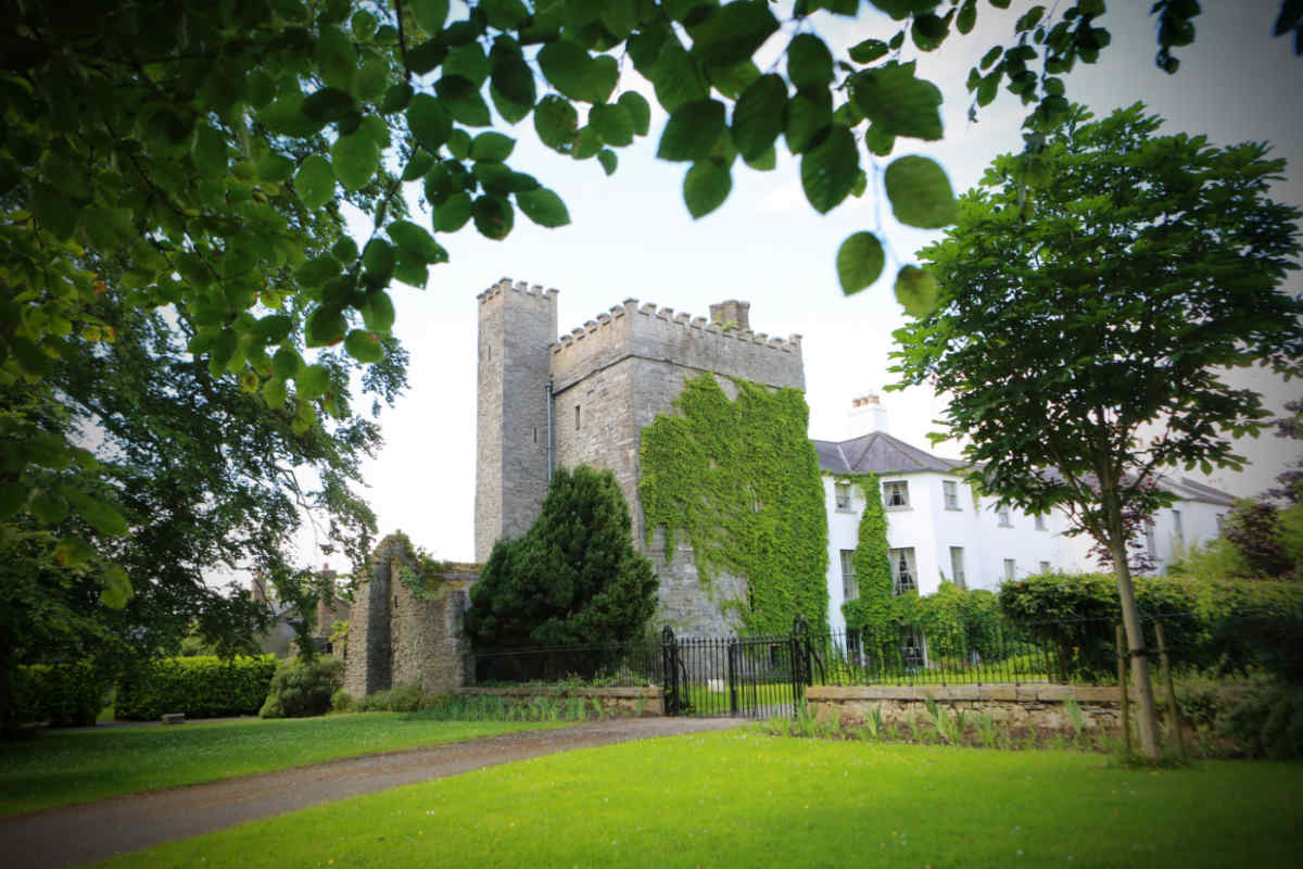 CastleCastle, unclassified · 338 yd
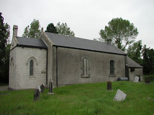 Saint Mullin's Church (Timolin)church/chapel · 355 yd
 MonasteryEcclesiastical site · 376 yd
 European LarchEuropean Larch · 848 yd
 St. Columbkilles WellHoly well · 1078 yd
 Moone Fox CovertForest · 1612 yd
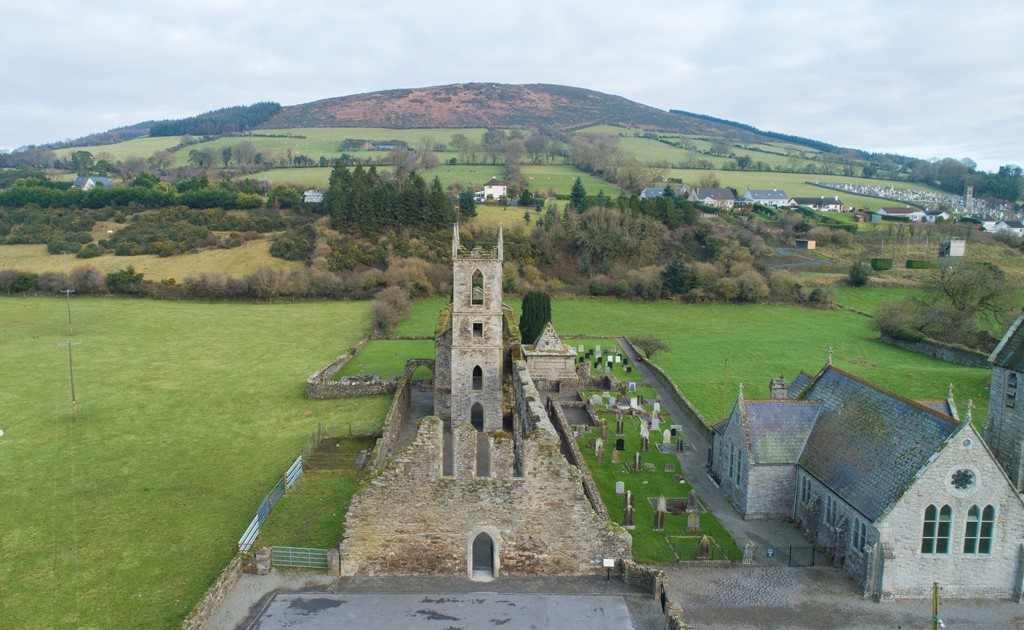 Ballycore RathCastle, motte and bailey · 1.1 mi
 Burtown House and GardensHeritage attraction · 2.6 mi
 Lorcán Ó TuathailMemorial · 4.5 mi
 Gorden Bennet Race memorialMemorial · 5.0 mi
 History of Moat of ArdscullVisitor information · 5.0 mi