What is recorded here
Mucklon holds a vanished rectangular building and two grinding stones beside an Allen-edge stream, marking a place where people lived before the land swallowed the walls. The missing structure may have fallen, been stripped or simply faded from memory, yet the querns still insist that hands once turned grain into meal. A short distance away, an older rath watches the same water, linking generations in a quiet line of occupation.
Two saddle-querns and a sherd of medieval pottery were found in a field near a stream on the E edge of the Bog of Allen (SMR file), and suggest the possible existence of a habitation site. The 1st ed. (1838) of the OS 6-inch map shows a rectangular building (est. dims. L c. 20m NNW-SSE; Wth c. 10m) immediately to the W, of which there is no visible surface trace. A rath (KD004-011----) lies c. 250m to the SW.
Compiled by: Gearóid Conroy
Date of upload: 10 June 2011
The monument record does not grant public access. Check the route and ask the landowner before entering private land.
- What survives
- Recorded monument
Places near here
 Coolree FortFairy fort / earthen ringfort · 1439 yd
 Fuaran WellHoly well · 1737 yd
 Dunfierth ChurchChurch · 1.0 mi
 Site of Dunfierth CastleCastle, unclassified · 1.1 mi
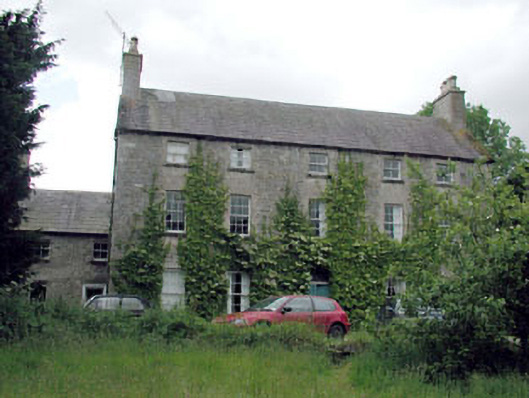 Metcalfe Parkcountry house · 1.4 mi
 The Grill ShackHeritage attraction · 2.8 mi
 Bawn in Newcastle (moyfenrath Lower By.)Bawn · 3.0 mi
 Cloncurry GraveyardHeritage attraction · 3.5 mi
 9/11 MemorialMemorial · 4.6 mi
 Old Bog Road made famous by Teresa Bryton 1868-1943Memorial · 4.6 mi
 Horse-chestnutHorse-chestnut · 5.1 mi
 European ashEuropean ash · 5.5 mi