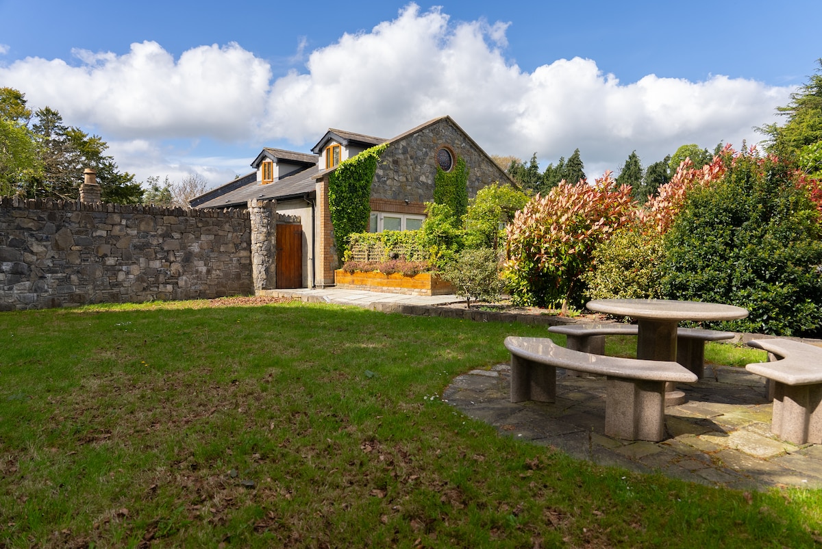
What is recorded here
Mud, fire and tools marked the soil beneath Chapel Farm long before bricks arrived. A bone spindle whorl, an iron knife and a single pottery sherd recovered from defined pits and possible hearths suggest that people lived, made and discarded there across the early medieval and medieval periods. The earth kept those small acts intact, turning an ordinary greenfield into a room where absent hands still turn yarn, cut meat or warm themselves at dawn.
Test-excavation (Licence no. 01E0872Ext) of a greenfield site S of Church road identified a possible portion of the ecclesiastical enclosure (DU008-010006-) and evidence for habitation including ditches, pits, possible hearths and drainage. A bone spindle whorl and iron knife of probable early medieval date and a single sherd of medieval pottery were recovered from stratified layers in defined features indicating long-term settlement in the area. The features have been preserved within the open space of Chapel Farm housing estate (Baker 2001, 24).
Compiled by: Christine Baker
Date of upload: 5 February 2015
The monument record does not grant public access. Check the route and ask the landowner before entering private land.
- What survives
- Recorded monument
Places near here
 ExcavationExcavation, miscellaneous · 69 yd
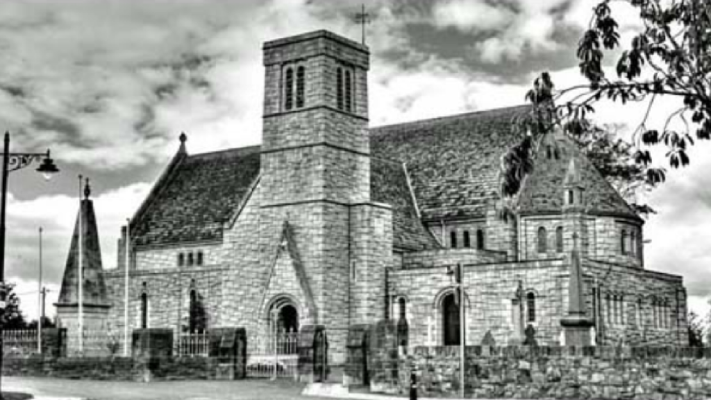 St. Maccullins WellHoly well · 140 yd
 Graveyard in LuskGraveyard · 208 yd
 Church in LuskChurch · 215 yd
 Saint MacCullin's Church (Lusk)church/chapel · 219 yd
 Lusk Tidy TownsMemorial · 240 yd
 CastleCastle, unclassified · 1.3 mi
 The Birds of Rogerstown EstuaryVisitor information · 1.8 mi
 Turvey Allotments and Nature ReserveNature reserve · 2.1 mi
 Picnic AreaPicnic place · 2.1 mi
 Turvey HouseCastle, tower house · 2.1 mi
 Newbridge House and DemesneHeritage attraction · 2.7 mi
Other information
Photo: Credit not shown in the picture search · Rights wording not checked; contact us if this picture should be removed