
What is recorded here
This site was excavated during grading of a stream bank that surrounds the open space of Chapel Farm housing estate (Licence no. 07E0409). Located along a small spur of the stream a N-S ditch, E-W ditch and a pit truncated by a modern sewer were excavated. The features were sealed by a layer rich with 12th-14th century pottery (Giacometti 2007, 34).
Compiled by: Christine Baker
Date of upload: 5 February 2015
The monument record does not grant public access. Check the route and ask the landowner before entering private land.
- What survives
- Recorded monument
Places near here
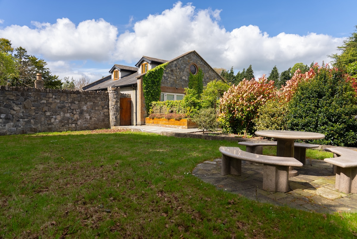 Habitation site in LuskHabitation site · 69 yd
 St. Maccullins WellHoly well · 77 yd
 Lusk Tidy TownsMemorial · 177 yd
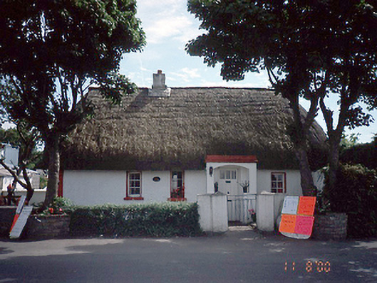 Clay Cottagehouse · 201 yd
 Graveyard in LuskGraveyard · 214 yd
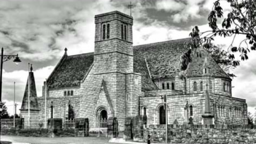
 Church in LuskChurch · 229 yd
 CastleCastle, unclassified · 1.4 mi
 The Birds of Rogerstown EstuaryVisitor information · 1.7 mi
 Turvey Allotments and Nature ReserveNature reserve · 2.0 mi
 Turvey HouseCastle, tower house · 2.1 mi
 Picnic AreaPicnic place · 2.1 mi
 Newbridge House and DemesneHeritage attraction · 2.7 mi
Other information
Photo: Credit not shown in the picture search · Rights wording not checked; contact us if this picture should be removed