What is recorded here
Excavation undertaken in 1982 recovered evidence for habitation in the form of pits, an arc of small post-holes and a charcoal spread. Some of the pits contained Grooved Ware, lithics, charcoal and created bone, while others had varying amounts of flint debitage. The plough-soil yielded an archer's bracer and a range of struck and worked flint and chert including a tanged arrowhead. Radiocarbon dates for the activity range between 4305 ± 45 BP and 2275 ± 30 BP (King 1999, 157). (Moore 1987, no. 384; King 1999)
Revised by: Paul Walsh
Revised date of upload: 16 May 2017
The monument record does not grant public access. Check the route and ask the landowner before entering private land.
- What survives
- Recorded monument
Places near here
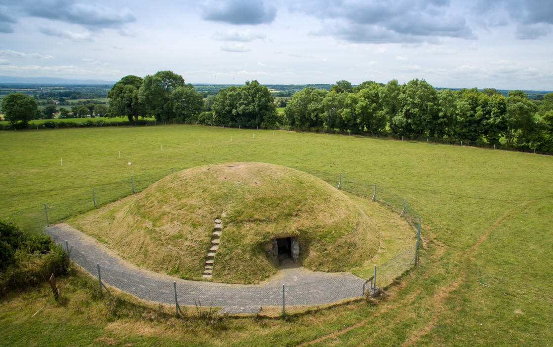 Four Knocks TombArchaeological place · 649 yd
 Passage tomb in FourknocksPassage tomb · 666 yd
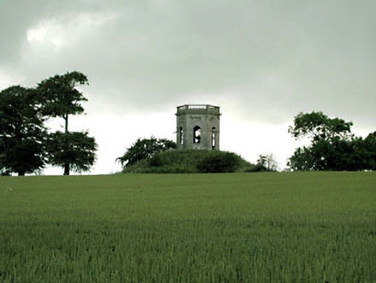 Herbertstown Housebelvedere, gazebo · 930 yd
 FourknocksPassage tomb · 1413 yd
 Church (in Ruins)Church · 1.0 mi
 Tullog WoodForest · 1.1 mi
 The story of the milk standMemorial · 1.1 mi
 Naul Park HouseCastle, unclassified · 1.2 mi
 Bawn in NaulBawn · 1.3 mi
 Seamus Ennis Cultural CentreMemorial · 1.4 mi
 Naul HillMountain / peak · 1.8 mi
 Ballshill PlantingForest · 2.2 mi