What is recorded here
Habitation in Donacarney Great dates to AD 320-520, when people dried cereal in kilns and roasted large animals in shallow pits. The site sat on a slight rise above flat farmland, likely supporting a wider settlement nearby. Dogs and cats may have scavenged the bones, while barley, wheat and oats still lie charred beside the kilns.
Located on a slight rise in a fairly level landscape. Archaeological testing (06E0413) on an area of about 15 acres (c. 6 ha) SW of the R150 Bettystown to Donacarney road identified a number of features consisting mostly of linear trenches or spreads of silty clays with bone inclusions. There was an L-shaped trench (L 7.2m; 2.3m; Wth 0.7m; ) just NE of a curved trench (Wth 1m; D 0.25m) open to the SW. A group of features in a concentrated area (dims c. 60m x 45m) was resolved into eight refuse pits and two, or possibly three, corn-drying kilns. The subrectangular refuse pits (dims 1.67m x 1.4m; D 0.55m to 4.75m x 4.65m; D 0.6m) contained large quantities of animal bone, some burnt in roasting. The faunal assemblage was dominated by cattle, followed by sheep and pig, and the bones represented large animals which were probably slaughtered for immediate consumption. Dog and cat were also present, perhaps as scavengers. Two subrectangular pits (dims 2.4m N-S; 1.2m E-W; D 0.4m: dims 2.7m N-S; 2.3m E-W; D 0.2-0.4m), which from their fills and evidence of oxidisation of the subsoil, are likely to have been for cereal drying were also recorded in this area. Barley, wheat and oats, some of it charred, was recovered close to them, and they are likely to be contemporary with the other pits. Five curvilinear features were also recorded which may have been related to the kilns. A sample of animal bone produced a calibrated C14 determination of AD 320-520 for this open habitation, which may have served a larger settlement in the vicinity.
Compiled by: Michel Moore
Date of upload: 19 July 2018
The monument record does not grant public access. Check the route and ask the landowner before entering private land.
- What survives
- Recorded monument
Places near here
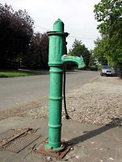 water pumpwater pump · 126 yd
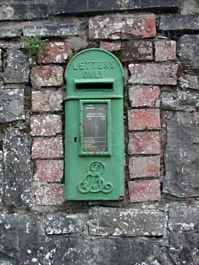 post boxpost box · 141 yd
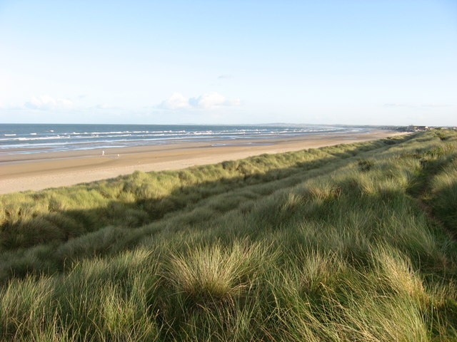 Enclosure in Donacarney GreatEnclosure · 1176 yd
 St. Columbkilles WellHoly well · 1233 yd
 RuinCastle, tower house · 1416 yd
 Site of Old CastleCastle, unclassified · 1.2 mi
 Beaulieu House and GardensHeritage attraction · 2.2 mi
 Battle of Julianstownbattle · 2.2 mi
 Ben HeadCliff · 3.7 mi
 Newgrange Business ParkMemorial · 4.5 mi
 SycamoreSycamore · 4.6 mi
 European YewEuropean Yew · 4.8 mi