What is recorded here
Dalkey is a medieval burgage plot sealed beneath modern Dalkey, marked by a ditch, domestic pits, hearths and green glazed floor tiles dating from the mid-12th to late 14th century. A substantial stone building later rose directly over that inhabited place, carrying the life below into a larger structure. The old boundary still runs beneath the town, remembering the people who cooked, chatted and discarded ordinary things before stone forgot them.
A habitation site excavated at 62 Castle Street by John Kavanagh under licence 02E1871. The earliest phase of activity identified on the site was characterised by a series of features associated with a medieval burgage plot. The plot was defined by a ditch and drain along the E boundary of the site. Numerous domestic rubbish pits were found within the area of the burgage plot. Several post-holes, stake-holes and hearths, located along the S edge of a metalled surface, suggested a habitation area at the N end of the site. The pottery assemblage recovered from these features would indicate a mid-12th- to late 14th-century date. Other artefacts included a bone spindle whorl, and iron knife, fragments of rotary querns and several fragments of green glazed floor tiles. A substantial stone building (DU023-064001-) was constructed directly over the medieval habitation area. The building occupied the NW corner of the site and extended out under Dalkey Avenue to the W.
Compiled by: Geraldine Stout and Padraig Clancy
Revised upload on: 6 July 2018
The monument record does not grant public access. Check the route and ask the landowner before entering private land.
- What survives
- Recorded monument
Places near here
 Site of CastleCastle, unclassified · 73 yd
 Castle (in ruins)Castle, tower house · 84 yd
 Church in DalkeyChurch · 125 yd
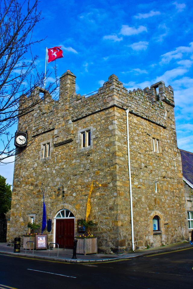 Dalkey CastleFortified town house and castle · 152 yd
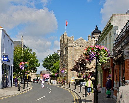 Dalkey Heritage CentreVisitor information · 153 yd
 Town defences in DalkeyTown defences · 178 yd
 DalkeyHistoric town · 184 yd
 Indicated as Dalkey LodgeHouse, 16th/17th century · 306 yd
 Dalkey Heritage TownVisitor information · 979 yd
 Dalkey HillMountain / peak · 990 yd
 Thomas Higgin MemorialMemorial · 1072 yd
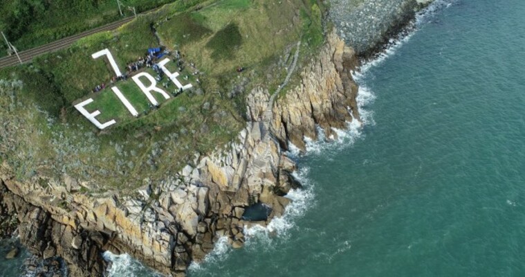 EIRE 7 signSecond World War neutrality sign · 1261 yd