What is recorded here
In wet, low-lying pasture, on the floodplain, c. 200m to S of the Camoge River, which marks the townland boundary with Friarstown and Caherelly West. Not depicted on OS historic mapping. Identified and excavated in 1949 by Ó Ríordáin (1950, 263) as Ballingoola No. V. Described by Ó Ríordáin as following; 'Situated on low marshy ground, lying in the valley of the Camoge south of the river. There is a slight rise in the ground towards the site so that some what drier conditions prevailed there than in the immediate neighbourhood of the river. Before excavation the site appeared as a very low mound with a saucer like central depression. The mound was surrounded by a shallow ditch and the diameter of the site from centre of ditch to centre of ditch was about 11 metres. The ditch appeared to be interrupted by a causeway at the north which may have marked the entrance. In general appearance the site was similar to Ballingoola IV [LI023-066001-]. The whole of the central mound was excavated and 1-metre wide sections cut through the ditch. The material of the mound was a hard packed yellow clay. There was no perceptible change in colour or texture to distinguish either the piled-up mound material or the fill of the ditch which contained no humus, and thus it was impossible to distinguish clearly the outline of the latter in any section. Some stones in the ditch at the east and west seemed to indicate the bottom at a depth of about 48 cm. The only sign of habitation revealed by the excavation was a slight flecking of charcoal towards the centre of the site. It is assumed that the site was a house of the same type as those at Ballingoola III [LI023-066002-] and IV [LI023-066001-] the position of the walls of which was indicated by charcoal and burnt clay, but as Ballingoola V had evidently not been burned no plan could be obtained. There were no finds and, as already suggested for the similar sites, a short occupation may be postulated possibly for some seasonal purpose.
Monument is not visible today on Digital Globe orthophotos taken 2011-13 or on Google Earth orthoimages taken 28/06/2018.
See attached Google Earth orthoimage taken 28/06/2018.
Compiled by: Alison McQueen and Vera Rahilly
Date of upload: 29 August 2020
The monument record does not grant public access. Check the route and ask the landowner before entering private land.
- What survives
- Recorded monument
Places near here
 Longford Bridgebridge · 222 yd
 Enclosure in BallingoolaEnclosure · 321 yd
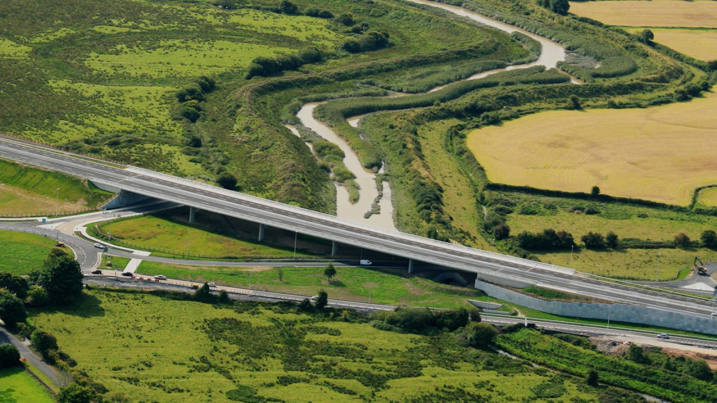 RoadRoad, road/trackway · 438 yd
 IndicatedDesigned landscape feature · 704 yd
 OultinedBawn · 1083 yd
 The SpectaclesVisitor information · 1.1 mi
 Lough Gur Heritage CentreVisitor information · 1.2 mi
 Banoge's WellSpring · 1.3 mi
 Pedunculate OakPedunculate Oak · 1.4 mi
 Garret IslandCastle, unclassified · 1.6 mi
 Skool HillMountain / peak · 1.8 mi
 Grange Stone CircleArchaeological place · 1.9 mi