What is recorded here
Situated on a NE-facing slope on one of the summits on an ENE-WSW drumlin ridge. Three stones in a line ENE-WSW are incorporated in a field bank and are known as the ‘Grey stones’. A fourth stone 5m to the S, has a similar orientation.
The above description is derived from the published 'Archaeological Inventory of County Monaghan' (Dublin: Stationery Office, 1986). In certain instances the entries have been revised and updated in the light of recent research.
Revised by: Michael Moore
Date of revision: 9 May 2018
Likely dating to the Bronze Age, the Grey Stones – Drumgole may have functioned as a ritual or territorial marker. Their alignment and positioning suggest possible astronomical or ceremonial significance, though specific folklore or use remains unrecorded.
The monument record does not grant public access. Check the route and ask the landowner before entering private land.
- What survives
- Recorded monument
Places near here
 IndicatedCrannog · 641 yd
 Hilltop enclosure in MaghernakellyHilltop enclosure · 1043 yd
 Tomb HillMountain / peak · 1.3 mi
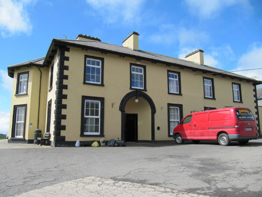 Tonnagh Househouse · 1.4 mi
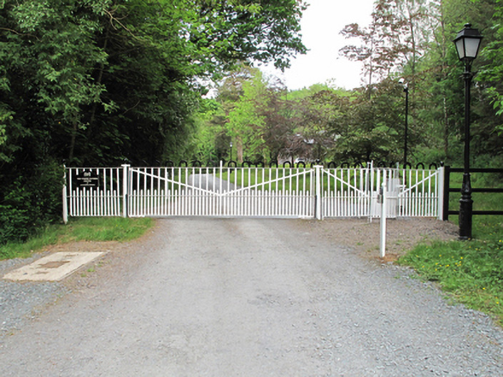 Annaghmakerig Housedemesne walls/gates/railings · 1.4 mi
 Rabbitburrow WoodWood · 1.6 mi
 Brown Bog WoodForest · 1.7 mi
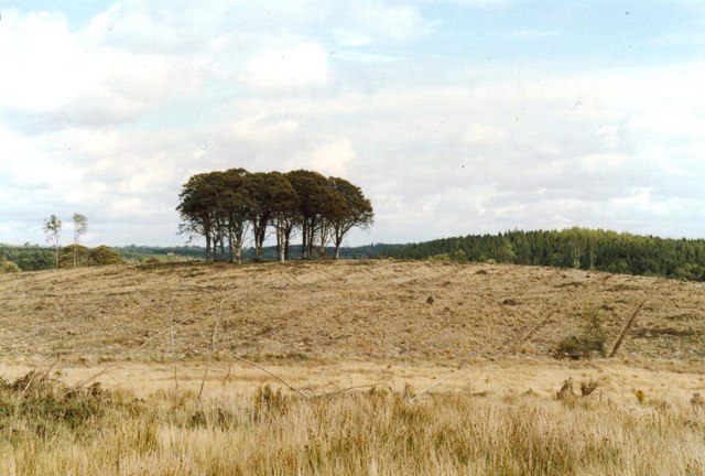 Flagpole HillMountain / peak · 1.9 mi
 Bawn in DrumsheilBawn · 4.3 mi
 Roosky Castle (Site of)Castle, ringwork · 4.9 mi
 Saint John's WellSpring · 5.3 mi
 Giant's GraveArchaeological place · 6.2 mi