What is recorded here
Yes. An irregular walled graveyard on the south side of Churchyard Lane in County Dublin, enclosing the old church of Merrion and holding graveslabs from the 18th to 19th century. It is a coast-road place where the dead have been kept beside a lane people still pass, not hidden from the town or forgotten by it.
Situated along the coast road, on the S side of Churchyard Lane. A walled graveyard, irregular in shape (N-S 40.3m, E-W 53.5m). The graveyard originally enclosed the church of Merrion (DU023-053001-) described on the Down Survey (1655-6) map as 'chapel of Merryon' (Joyce 1912, 29-30). The graveslabs in the present graveyard date from the 18th to 19th century.
Compiled by: Geraldine Stout and Padraig Clancy
Revised upload on: 6 July 2018
The monument record does not grant public access. Check the route and ask the landowner before entering private land.
- What survives
- Recorded monument
Places near here
 Church in Unknown TownlandChurch · 5 yd
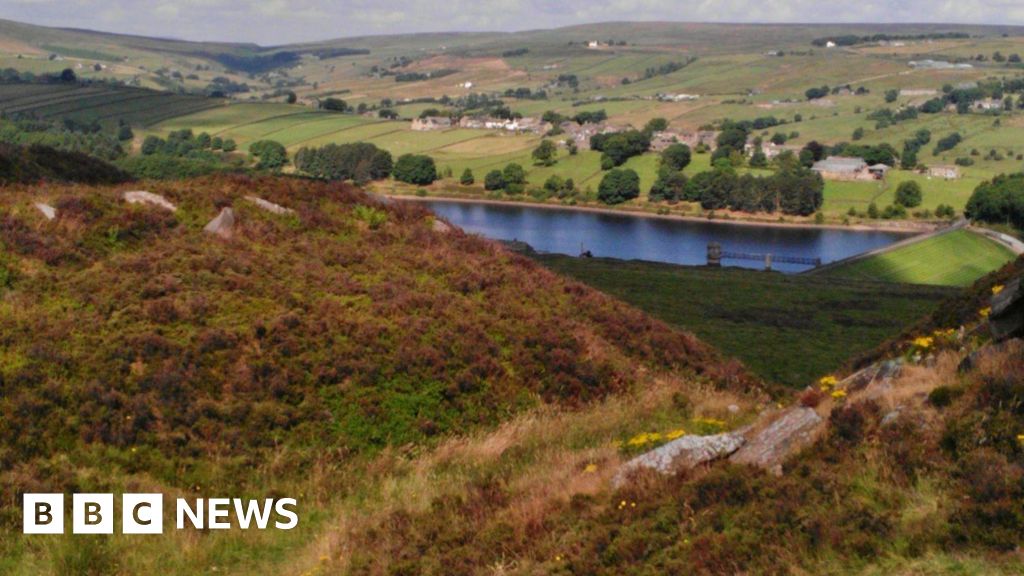 Booterstown Nature ReserveNature reserve · 155 yd
 Merrion CastleHouse, 18th century · 351 yd
 Booterstown MarshNature reserve · 362 yd
 Blackrock ParkVisitor information · 575 yd
 Merrion StrandBeach / strand · 578 yd
 1916 RisingMemorial · 848 yd
 CastleCastle, tower house · 916 yd
 Martello TowerMartello tower · 1187 yd
 Designed landscapeDesigned landscape, tree-ring · 1288 yd
 The FostersVisitor information · 1313 yd
 Roebuck CastleCastle, unclassified · 1.1 mi