
What is recorded here
Situated along the coast road, on the S side of Churchyard Lane. A church located within a walled graveyard (DU023-053002-). There are no traces above ground of this church within the graveyard. The church is described on the Down Survey (1655-6) map as 'chapel of Merryon'. (Joyce 1912, 29-30). In the 16th century one of the Fitzwilliam family bequeathed to the church a gown and a chamlet, a doublet of satin to make vestments (Ball 1900, 312). The graveslabs in the present graveyard date from the 18th and 19th century.
Compiled by: Geraldine Stout and Padraig Clancy
Uploaded on: 2 April 2009
The monument record does not grant public access. Check the route and ask the landowner before entering private land.
- What survives
- Recorded monument
Places near here
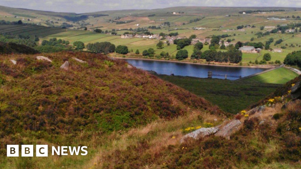 Booterstown Nature ReserveNature reserve · 159 yd
 Merrion CastleHouse, 18th century · 346 yd
 Booterstown MarshNature reserve · 367 yd
 Merrion StrandBeach / strand · 573 yd
 Blackrock ParkVisitor information · 580 yd
 1916 RisingMemorial · 847 yd
 CastleCastle, tower house · 921 yd
 Martello TowerMartello tower · 1193 yd
 Designed landscapeDesigned landscape, tree-ring · 1292 yd
 The FostersVisitor information · 1315 yd
 Roebuck CastleCastle, unclassified · 1.1 mi
 Blackrock Baths (closed)Ruins · 1.2 mi
Other information
Photo: Credit not shown in the picture search · Rights wording not checked; contact us if this picture should be removed