
What is recorded here
Graveyard in Unknown Townland stands as a walled oval in County Dublin, preserving the shadow of an older sacred boundary beneath its 1712 wall. A raised northern platform, dressed in sycamores and pierced by the Domville tomb, still marks the heart of that forgotten enclosure. Eighteenth and nineteenth century stones crowd the grass, testifying that the dead have always claimed this exact spot, regardless of whose name appears upon them.
The graveyard is a walled oval area which may respect the line of an earlier ecclesiastical enclosure (DU014-057006-). The OS 6-inch map (1936) shows a roughly oval enclosure around the present church (dims. L c. 55m, Wth c 46m) which may be the remains of an early enclosure. This is evident in the N sector of the graveyard as a raised platform (H1.1m), planted with sycamores. It is cut through by the insertion of the Domville family tomb. The line of the enclosure is continued in the graveyard wall (1712 AD) along the E side and continues to the SW. There are 18th and 19th century memorials in the graveyard.
Compiled by: Geraldine Stout
Date of upload: 26 August 2011
The monument record does not grant public access. Check the route and ask the landowner before entering private land.
- What survives
- Recorded monument
Places near here
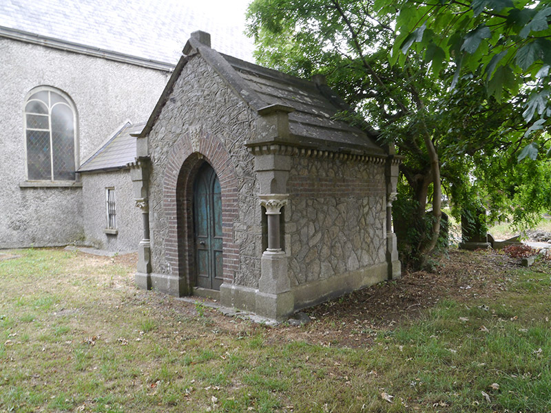 LeFroy TombGrave monument · 50 yd
 rectory/glebe/vicarage/curate's houserectory/glebe/vicarage/curate's house · 51 yd
 St Pappans ChurchEcclesiastical enclosure · 61 yd
 The PhoenixMonument · 617 yd
 EolasVisitor information · 877 yd
 ChryslerMemorial · 1083 yd
 Airways Industrial EstateVisitor information · 1213 yd
 Hampstead CastleCastle, unclassified · 1.3 mi
 Killing of David Byrnemurder · 1.4 mi
 Saint John's WellSpring · 1.8 mi
 Casino at MarinoHeritage attraction · 1.9 mi
 St Josephs Asylum for the BlindCastle, unclassified · 1.9 mi
Other information
Photo: Credit not shown in the picture search · Rights wording not checked; contact us if this picture should be removed